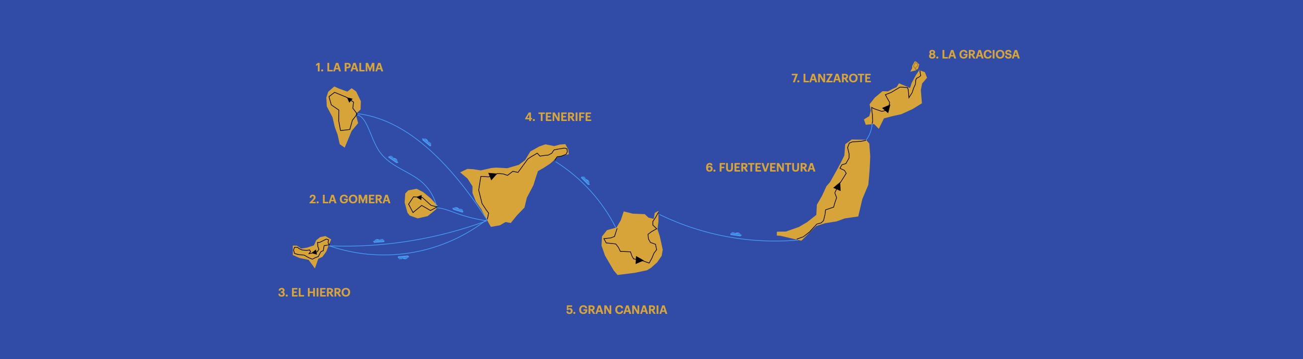
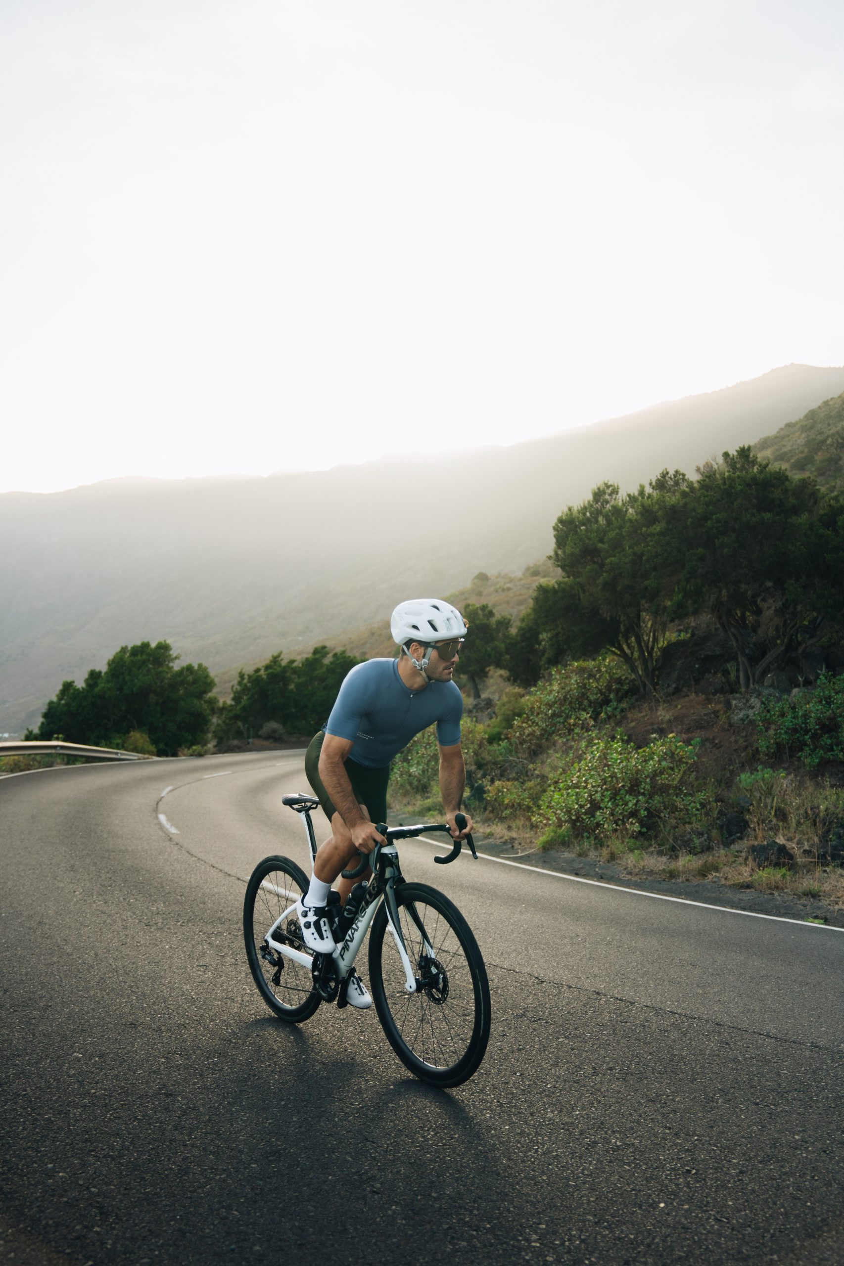
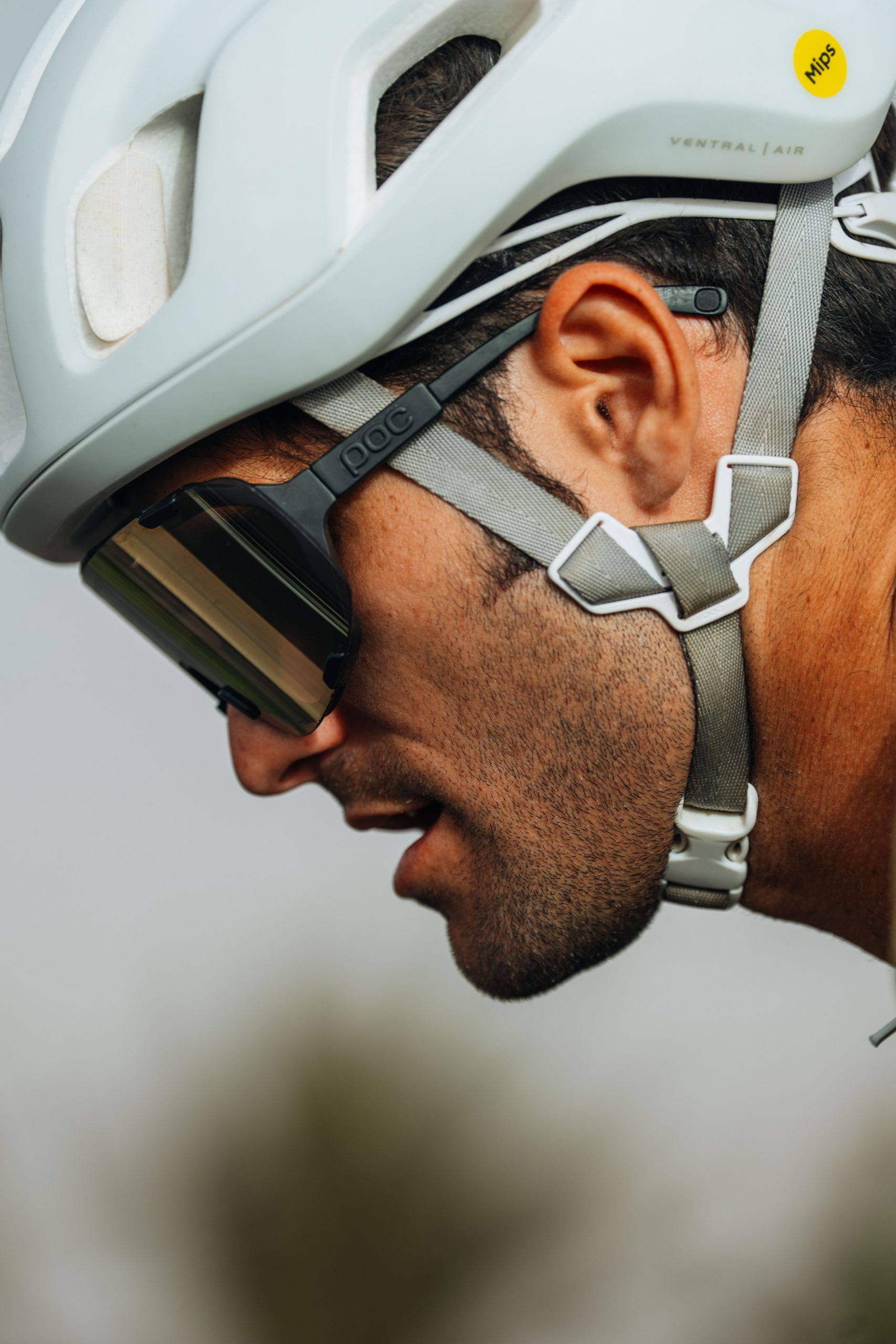
8 ISLANDS CYCLING CHALLENGE
A ROADBIKE CHALLENGE AROUND ALL CANARY ISLANDS
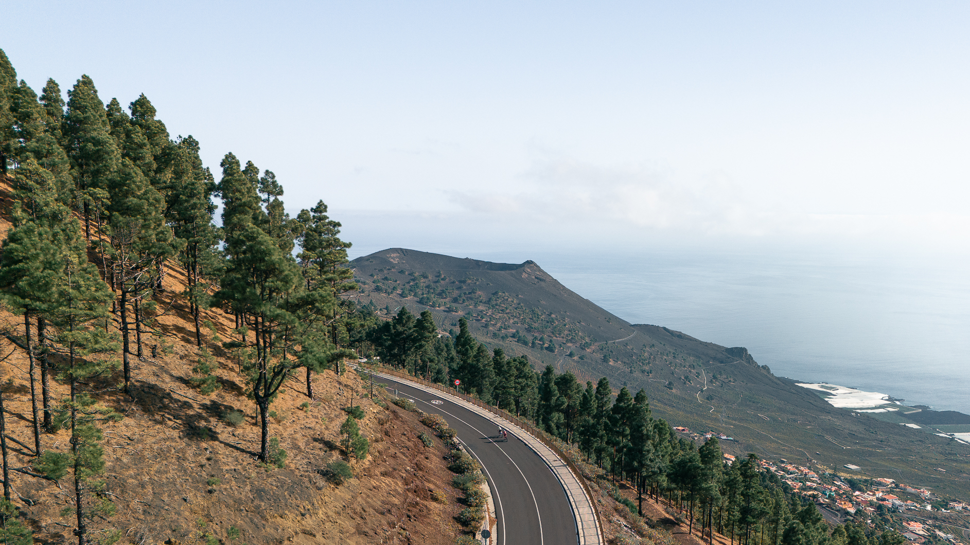
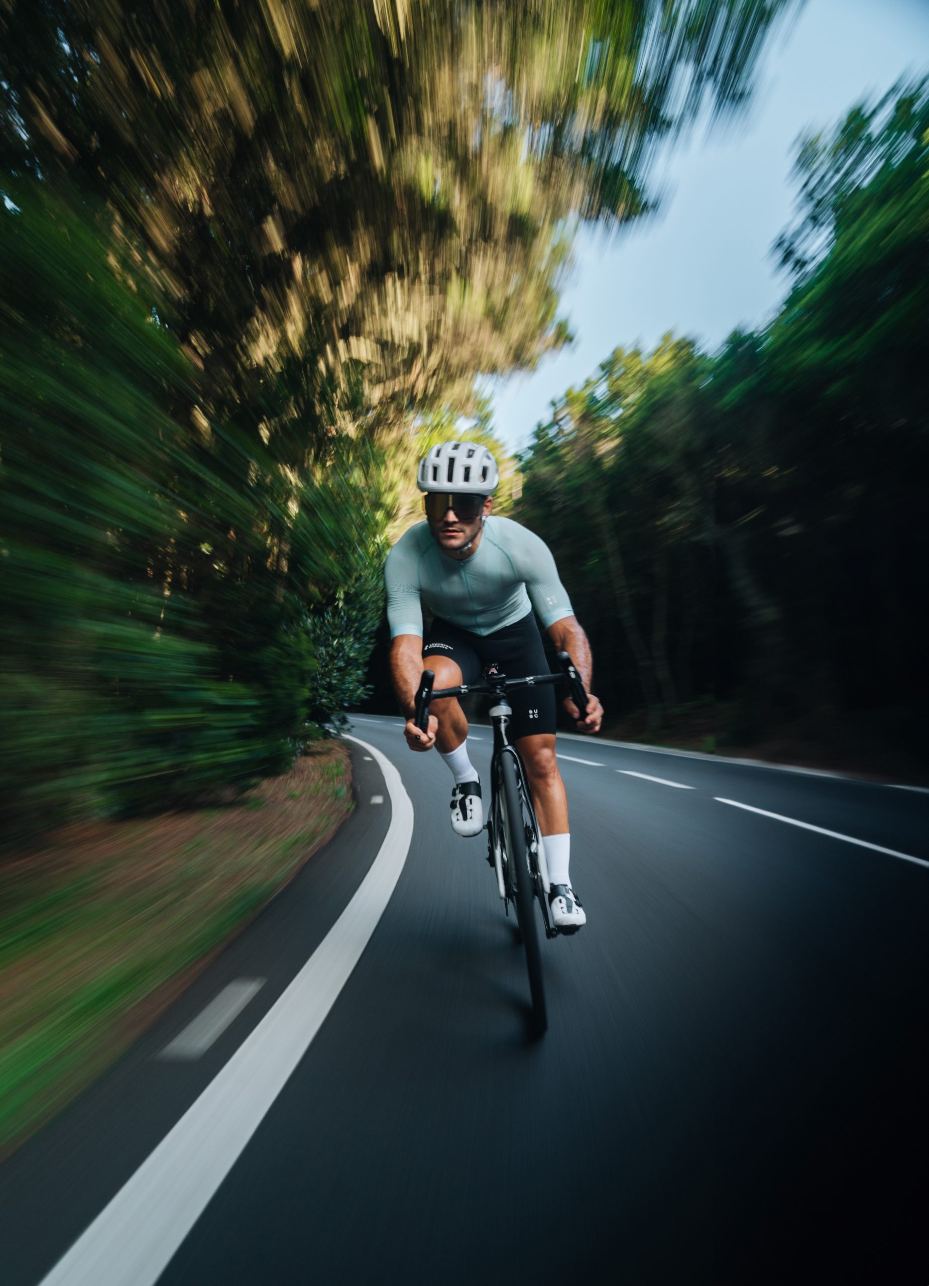
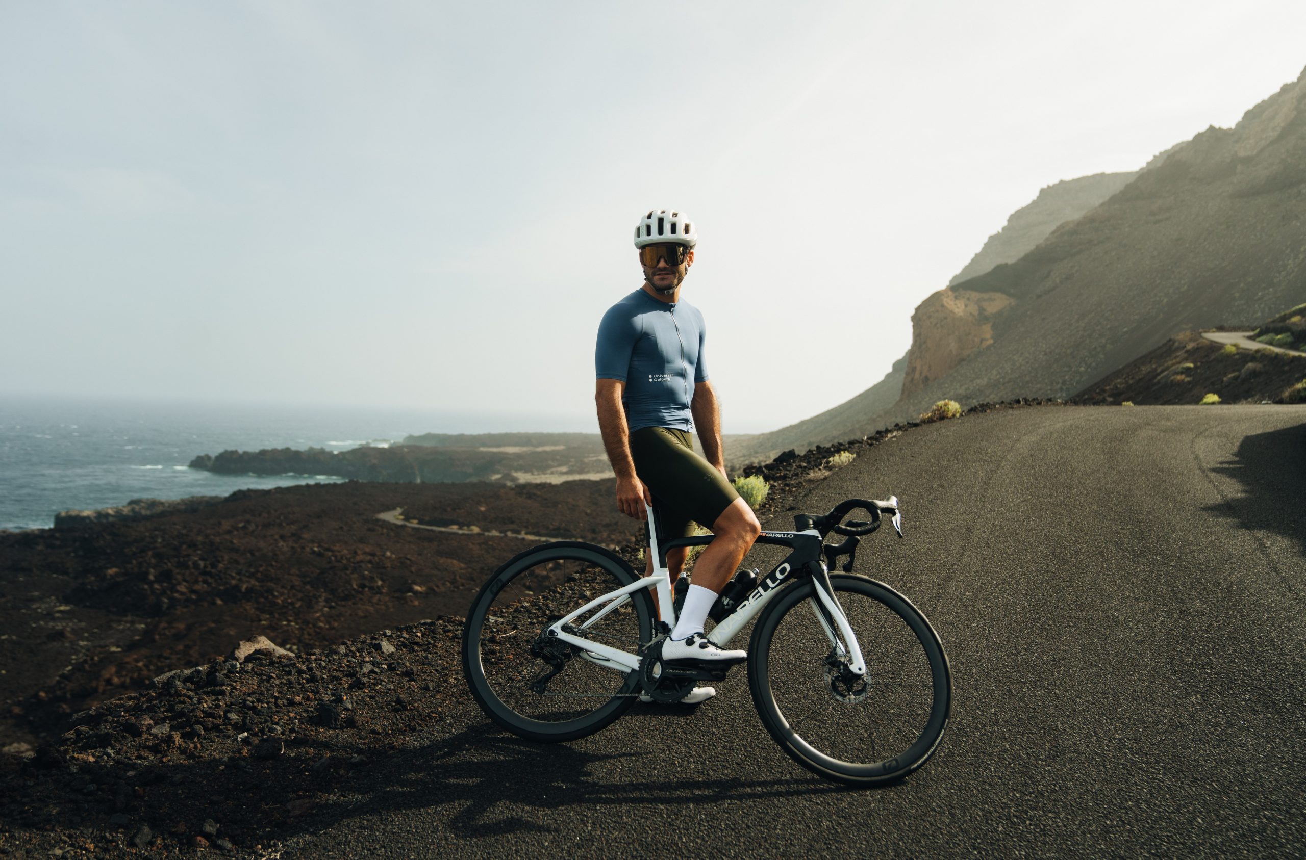
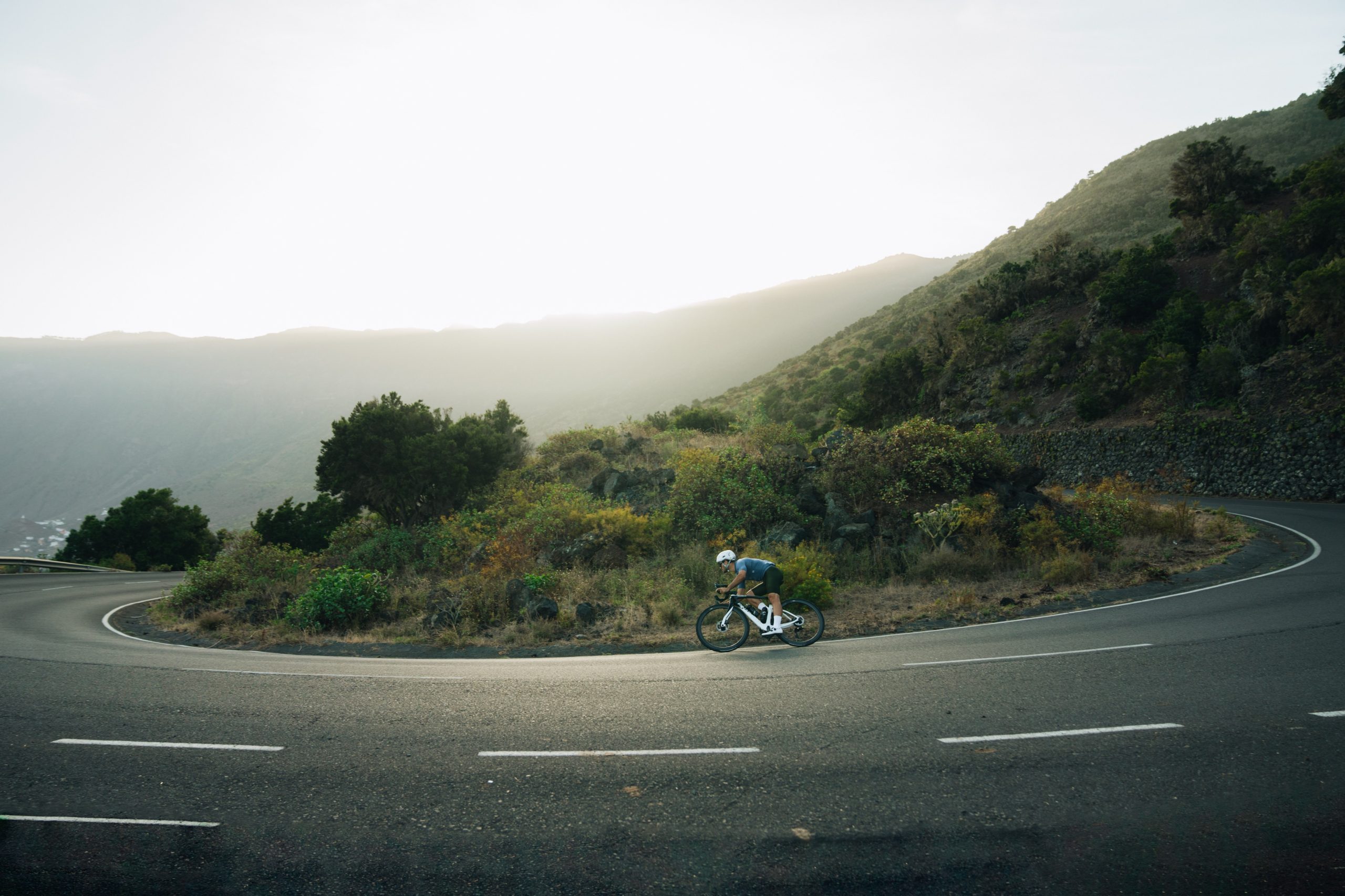
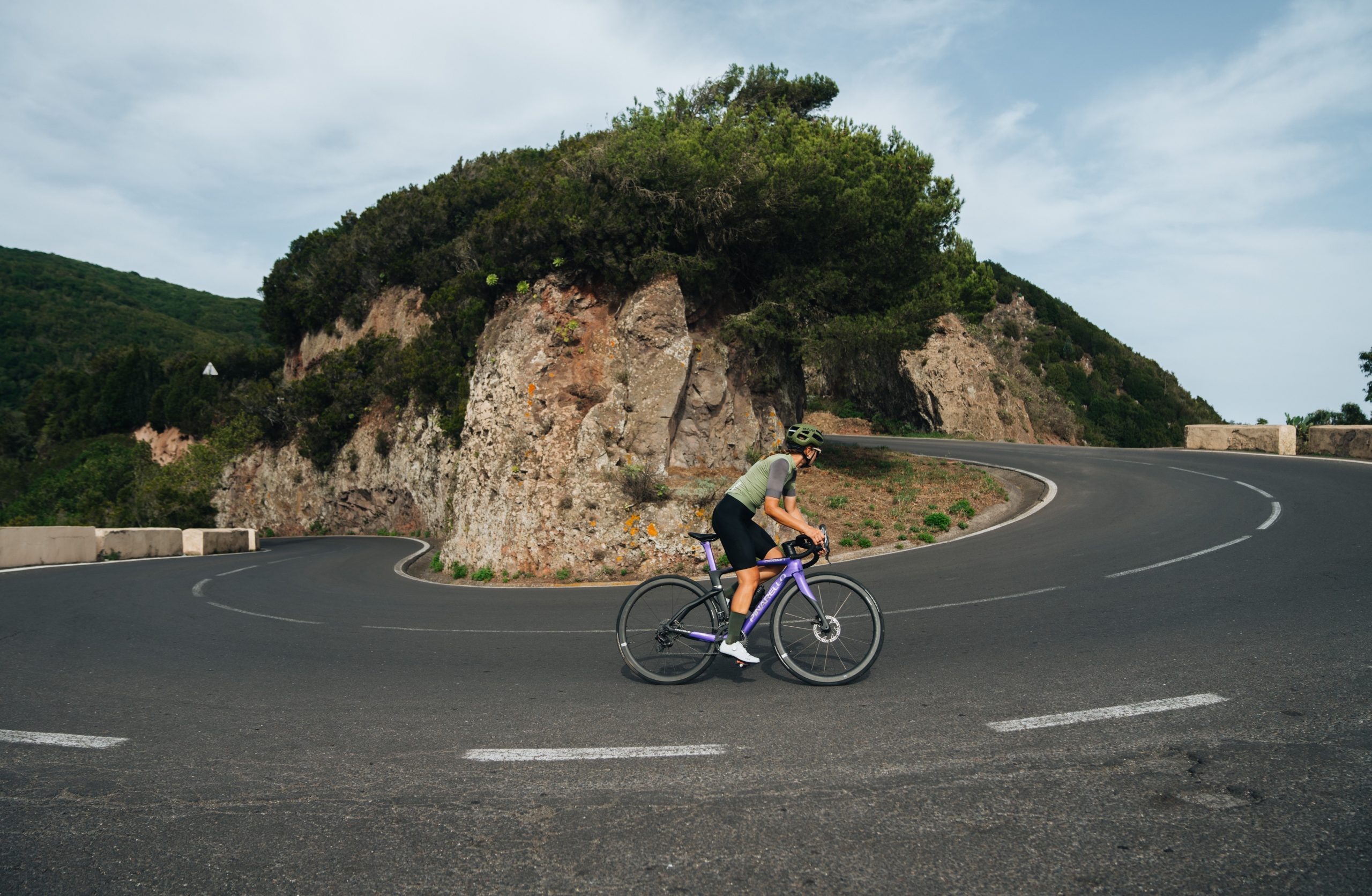
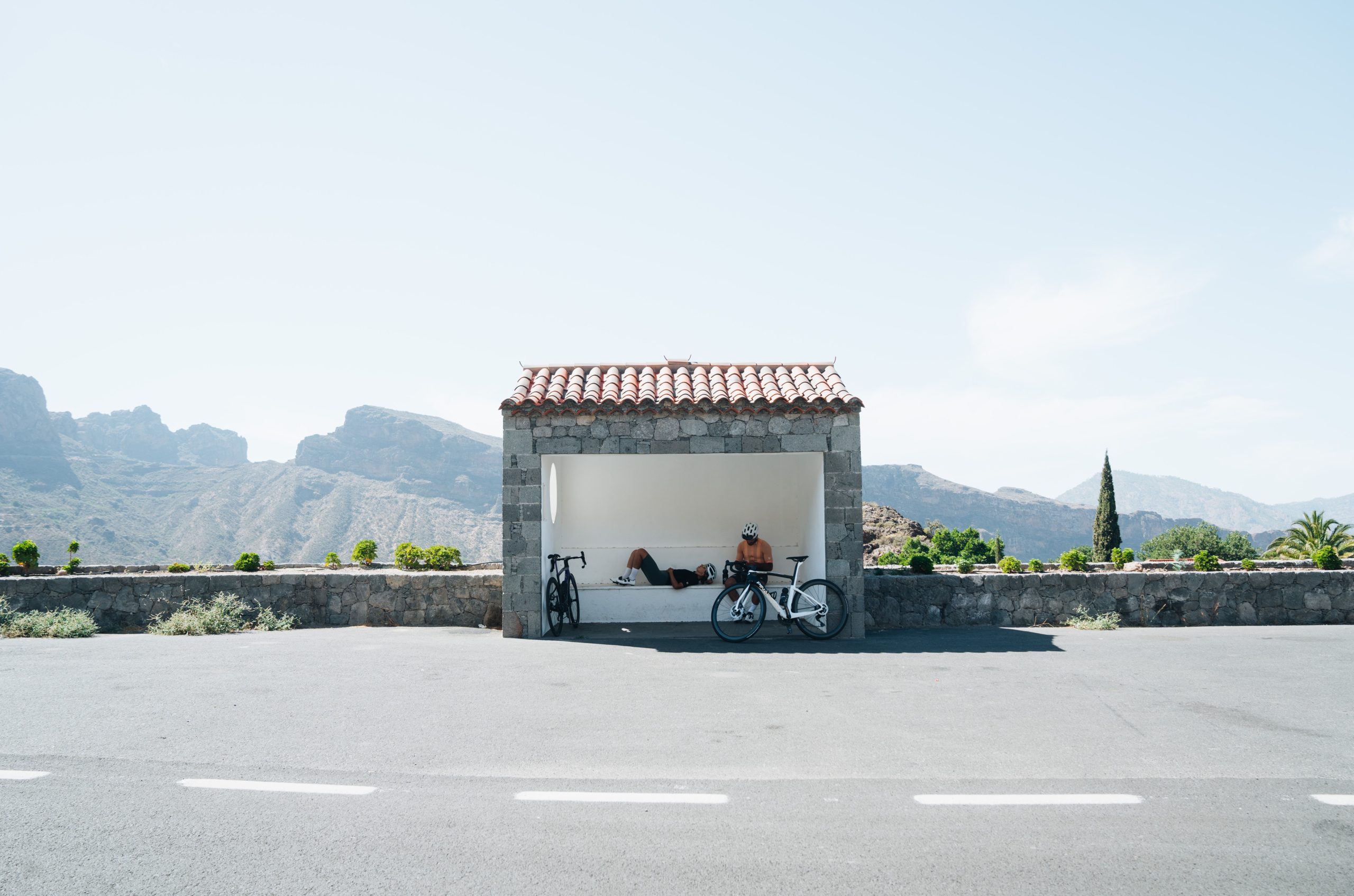
1. LA PALMA
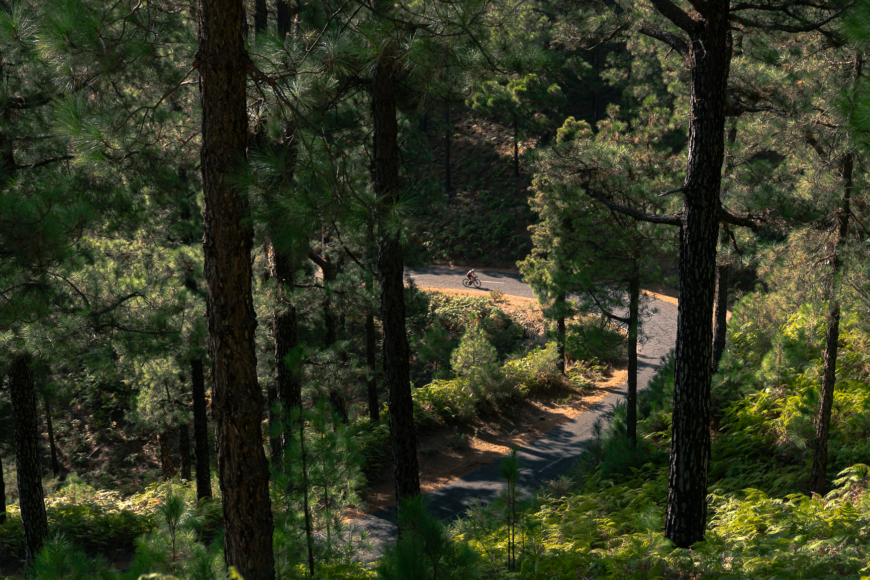
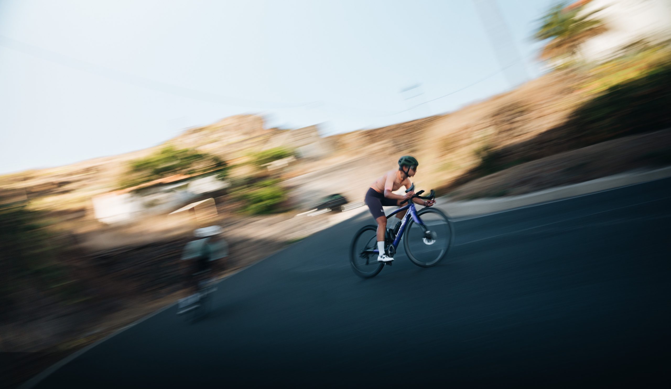
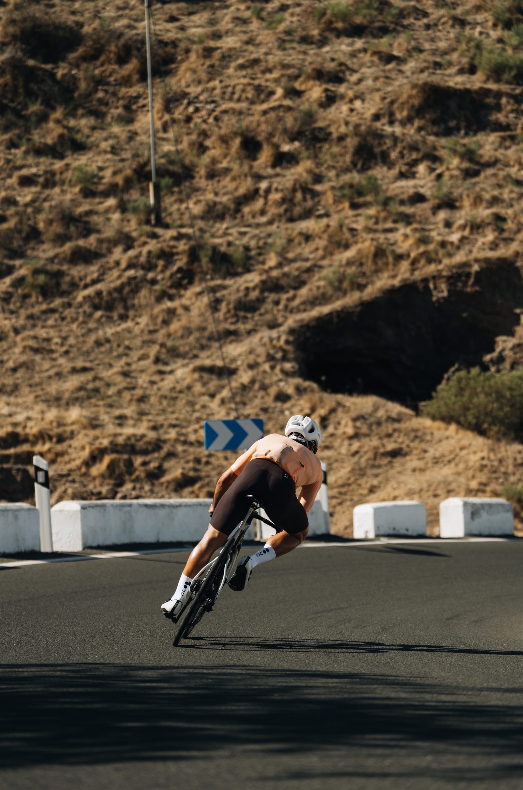
We began the challenge in Santa Cruz de la Palma, at sea level. We had an early breakfast and started the ascent to El Roque de los Muchachos, the longest climb that Lina and I had ever rode. It covered 32 km with no breaks and a positive elevation of 2,406 meters. During the nearly 3 hours it took us to ascend, we passed through changing landscapes, as if they were levels in a video game. We went from a small area of laurel forest to a zone with very tall pine trees, to finally reach an area of shrubs near the summit, where we could see the yellow, reddish, and orange tones of volcanic formations.
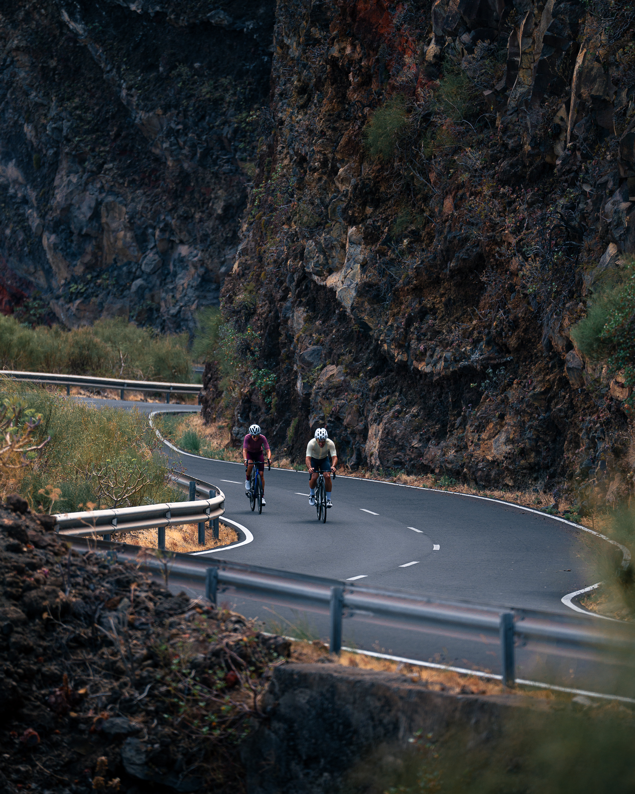
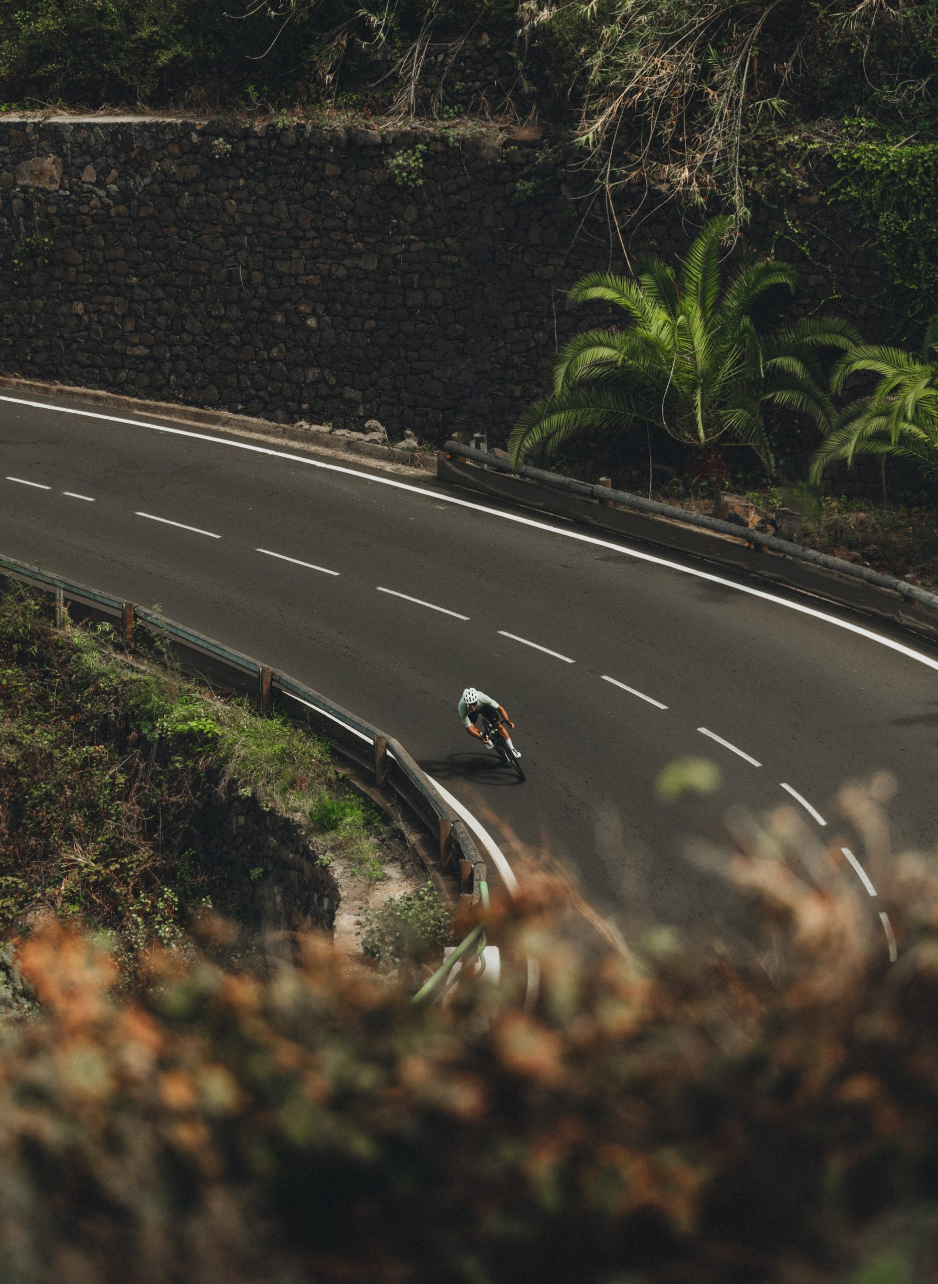
From Fuente Nueva, we began the descent towards Santo Domingo de Garafía. It was a winding road, quite enjoyable and a well-deserved reward after all the effort. With each turn, we could feel the air temperature rising, indicating that we were getting closer to the sea. After that there was a 6km climb to reach El Pinar and it had very steep parts, reaching up to 18% gradient at some points. We didn’t expect that a 6km climb would be harder than the first one, but that is how it felt in our legs.
The second part of the route was faster and had less elevation gain. We passed through small villages along a winding road. We arrived at the Time viewpoint and were left speechless by the views of the entire valley. We even saw the lava river left by the Tajogaite volcano during its eruption in 2021. We continued descending until we reached sea level again, and then ascended to about 780 meters, crossing the Cumbre Vieja Natural Park and arriving in the village of Los Canarios to begin a very long and well-deserved descent with sea views, eventually returning to our starting point to complete the first day.
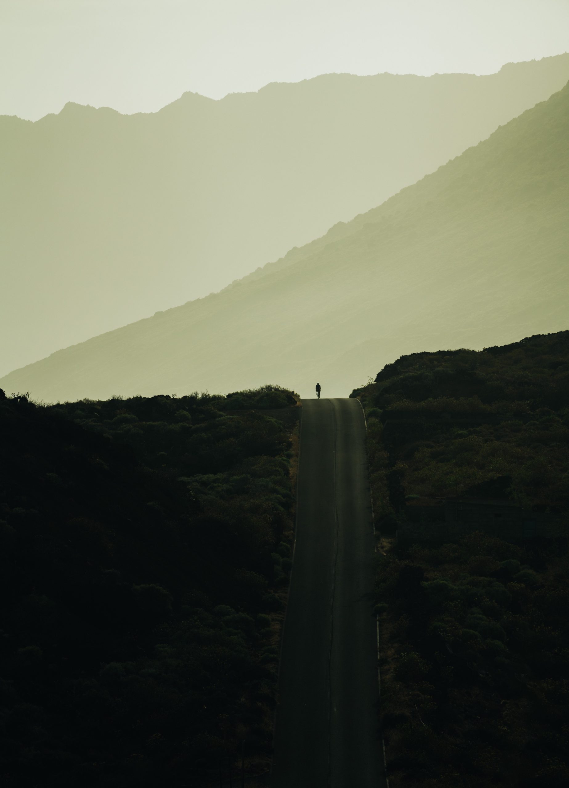
It was a very challenging day with more than +4.400m of climbing, but luckily, it was the first of this challenge when our energy levels were still high, and we were able to overcome it without any major problems.
2. LA GOMERA
We arrived in La Gomera’s capital, San Sebastián de la Gomera, via the ferry, and immediately started pedaling towards Las Poyatas. It was a challenging ascent of 600 meters up to a tunnel that crosses the mountain that takes you into the Hemigua Valley. When coming out from the tunnel, we were greeted by a huge contrast in the landscape, much greener and full of vegetation compared to the uphill journey.
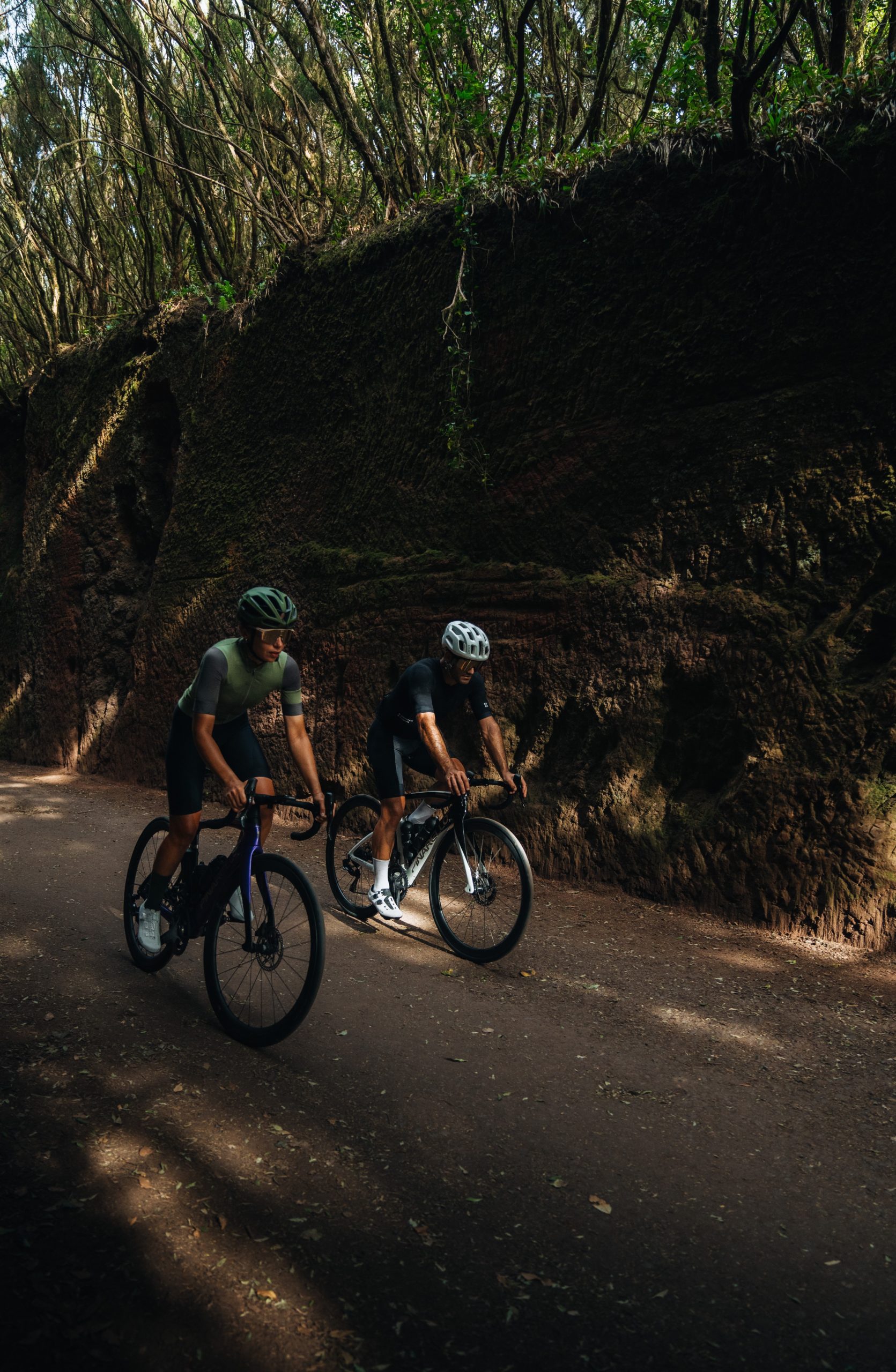
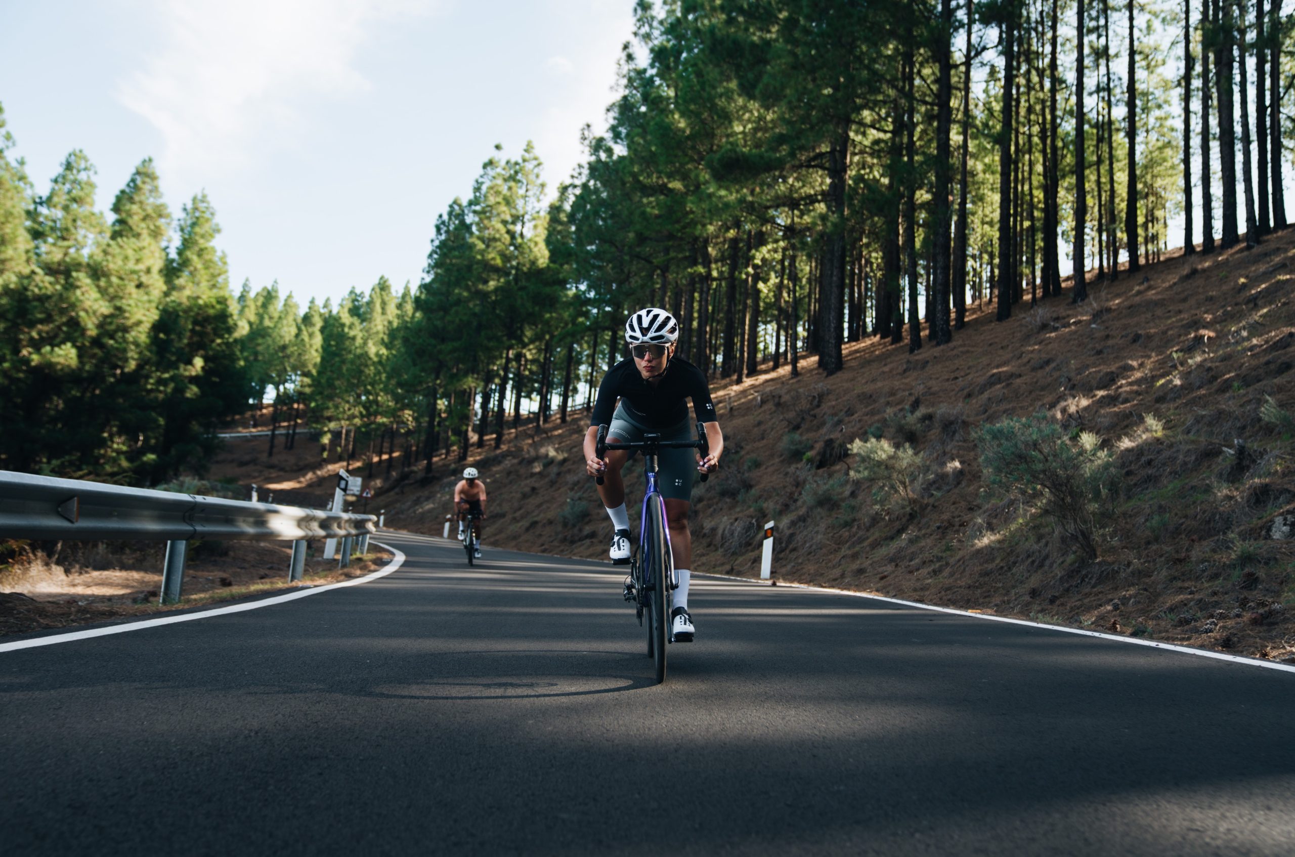
We began descending into the valley on a fast road with tight and open curves, which we thoroughly enjoyed as there were hardly any cars on the route. At the end of the valley, we started the day’s climb, covering approximately 23 km with an elevation gain of 1,250 meters, to enter the heart of the island, the Garajonay National Park. While there were some steep sections, there were also occasional flat parts that were a relief for our legs.
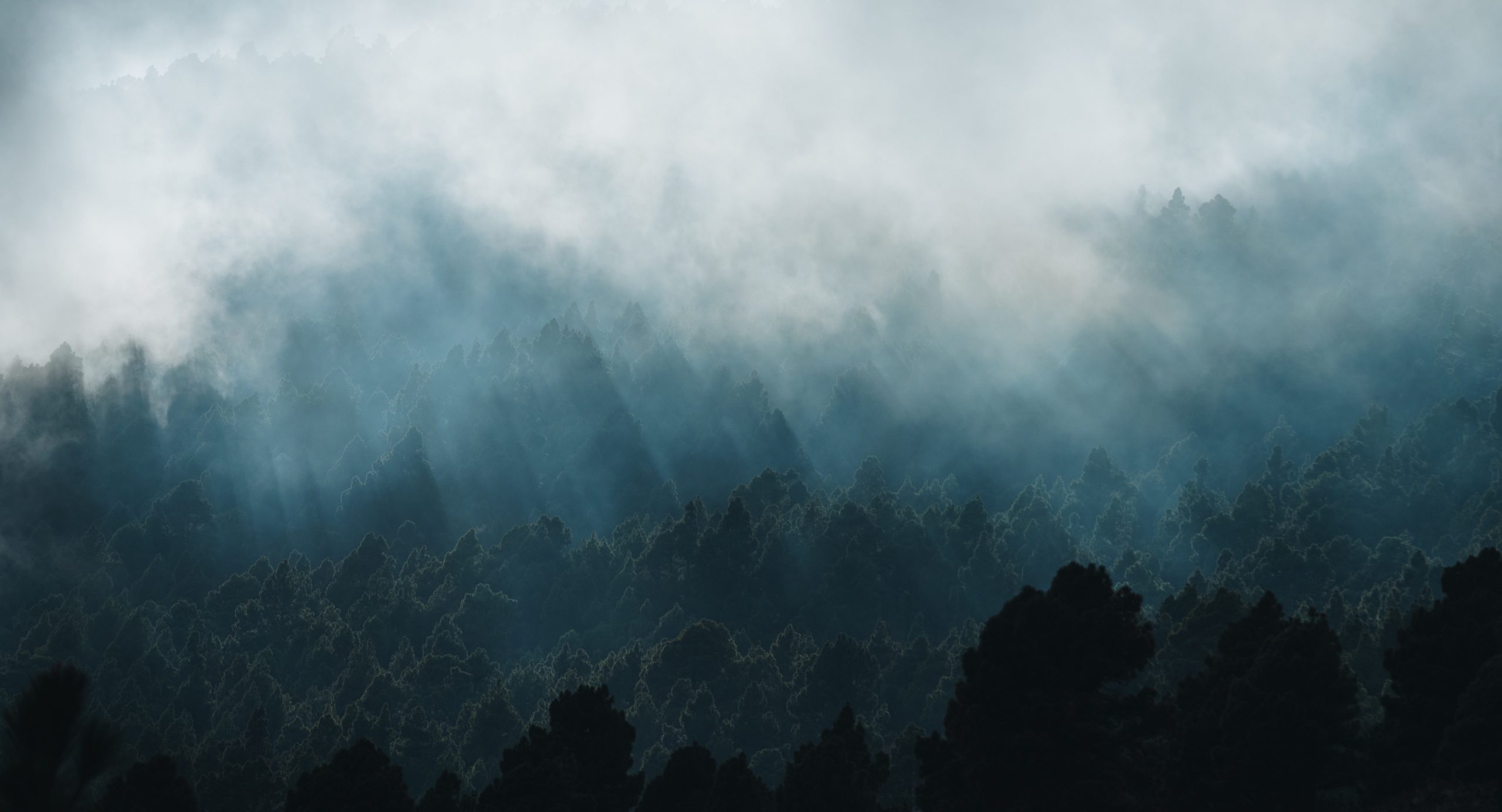
As we entered the Garajonay National Park, it became evident that this place was truly magic. The road passed through incredibly dense laurel forests, where sunlight couldn’t penetrate. This area was so humid and cool, and certain parts of the road were so dark that you’d forget you were cycling under the bright sun.
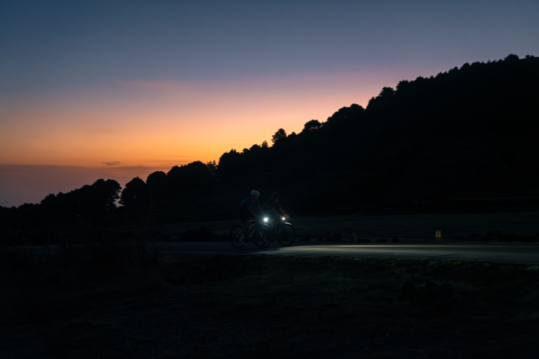
The next descent took us to Arure, where the sun began to set, dying warm and golden light all over the landscape. The road went through picturesque villages, with gentle ascents and descents. We continued our ascent to Alto del Garajonay, at 1,300 meters. We enjoyed the spectacular sunset glow and the panoramic views of the southern part of the island.
Finally, we embarked on a descent of about 24 km back to our starting point. It had grown dark, but we switched on our lights and managed to return to San Sebastián without any major issues.

3. EL HIERRO
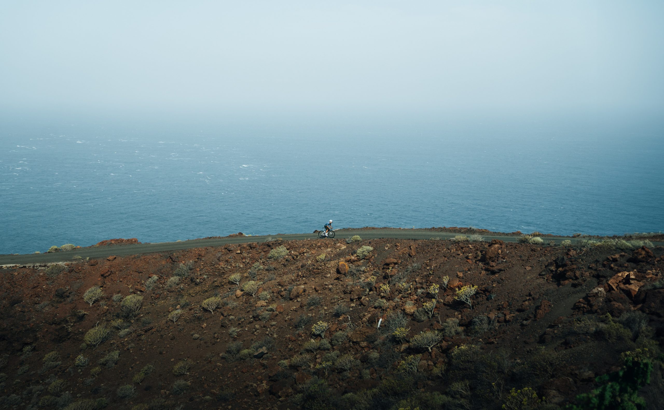
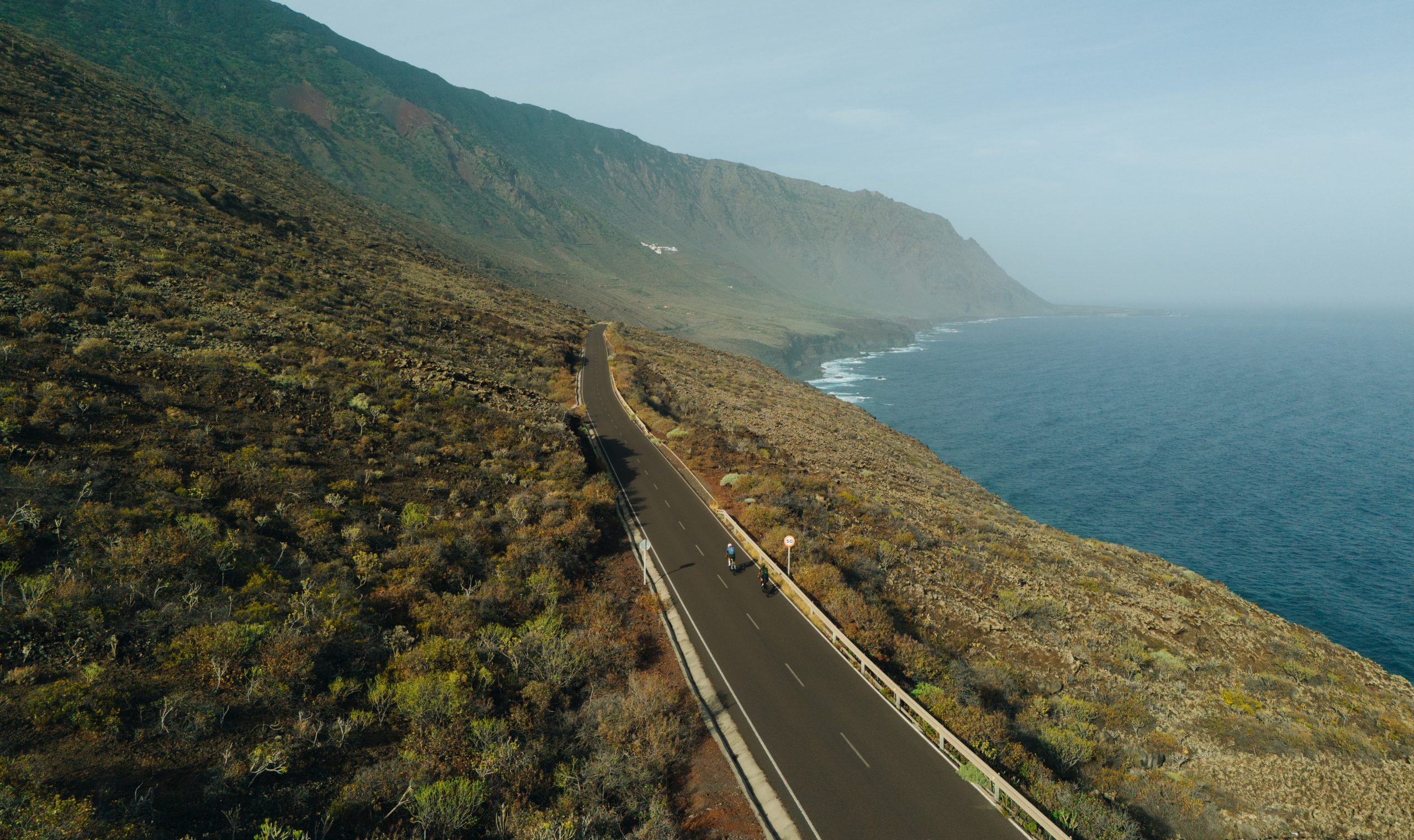
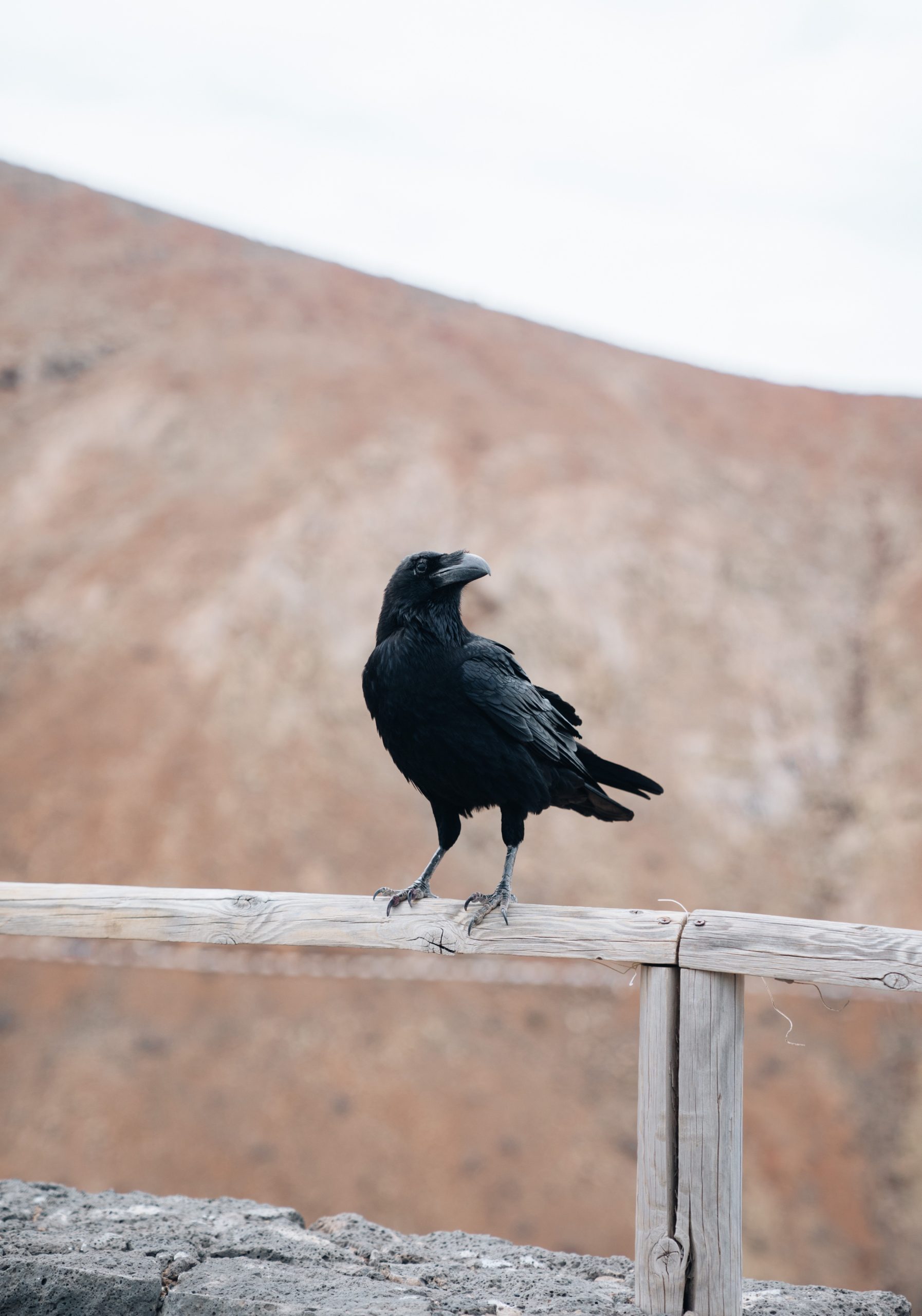
As soon as we arrived, we could see that this island was very different from the others. Even from the ferry, we observed towering cliffs made of dark volcanic rock that dominated the island’s coastline. As in La Palma and La Gomera, we began the ride ascending, an 8 km climb with a 550 m elevation gain, leading us to the capital of El Hierro, Villa de Valverde.
From there we had brief descent of about 4 km before the next climb, reaching the highest point of the route at 1,346 m. From this point, a rapid descent unveiled a completely different part of the island. It was lush and green, with dense forests and vibrant shades of green gradually giving way to breathtaking views of the sea and El Golfo, a giant semicircular bay that stretches out to the ocean.
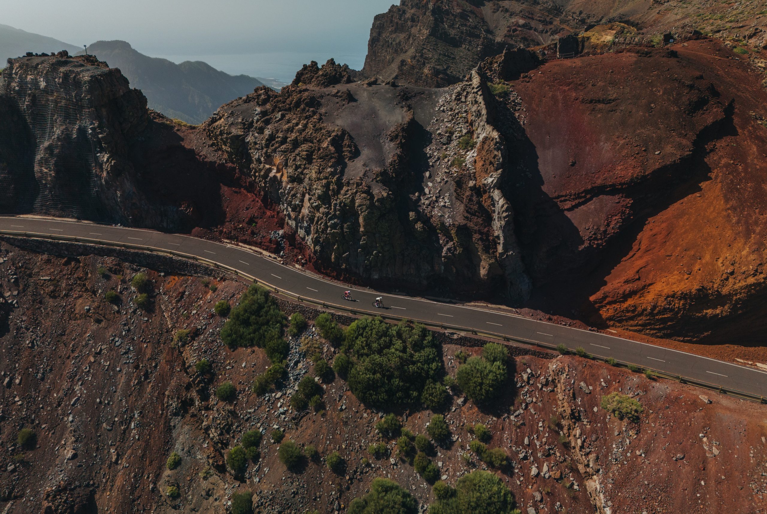
After the long descent, we pedaled along a road parallel to the coast, where we witnessed yet another contrast of colors: the dark browns of volcanic stones against the electric greens of the vegetation. It was one of the most beautiful roads on all the islands. With each pedal stroke, the greenery gradually faded, and the brown hues of the stones took prominence. We reached Playa Arenas Blancas, where only volcanic rocks and a few surviving shrubs were visible in this harsh terrain.
At the end of the road, we began our ascent to the Lomo Negro viewpoint. It felt like being on Mars and was one of the most stunning landscapes of the entire challenge. The last climb of the day took us around the mountains of Tenaca, Tembárgena, Tomillar, and Guanche de Arriba. We crossed a pine forest on a beautiful road with coastal views, leading us to Isora. From there, we only had to descend to Timijiraque on a road that seemed to go straight into the sea, with a steep gradient but offering spectacular views.
Upon reaching the coastal road, we could already see the port where we would catch the ferry to our next destination.
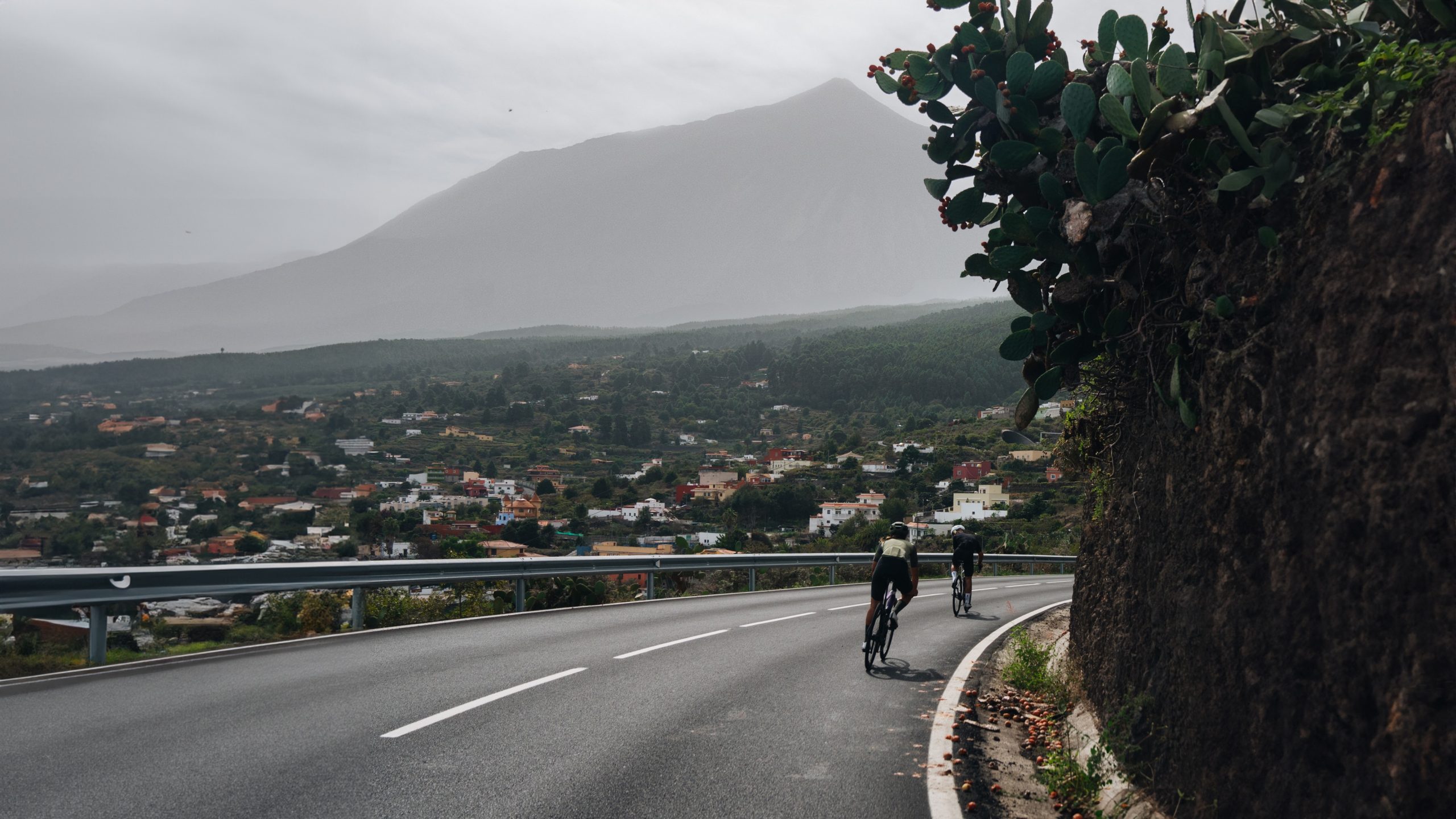
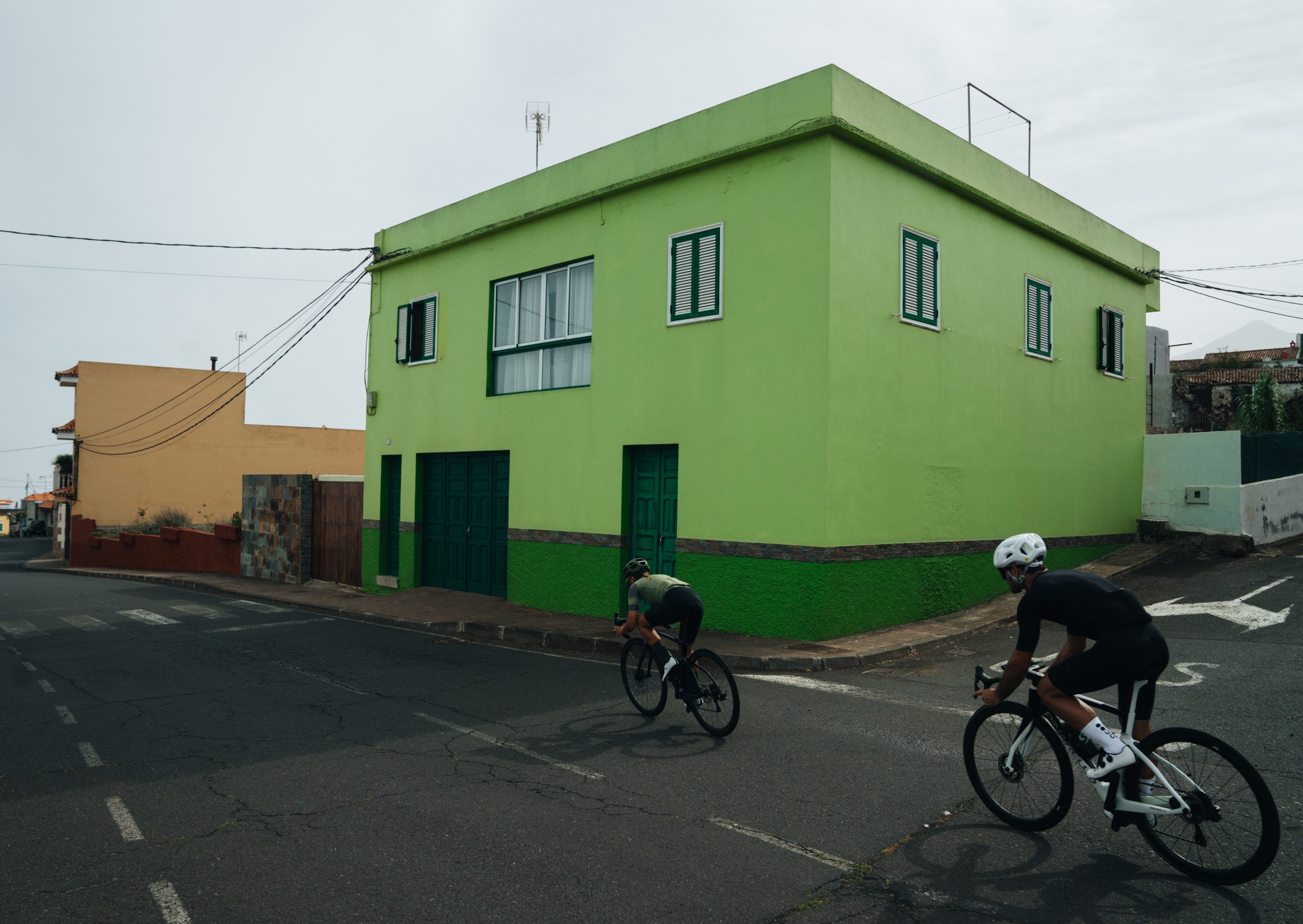
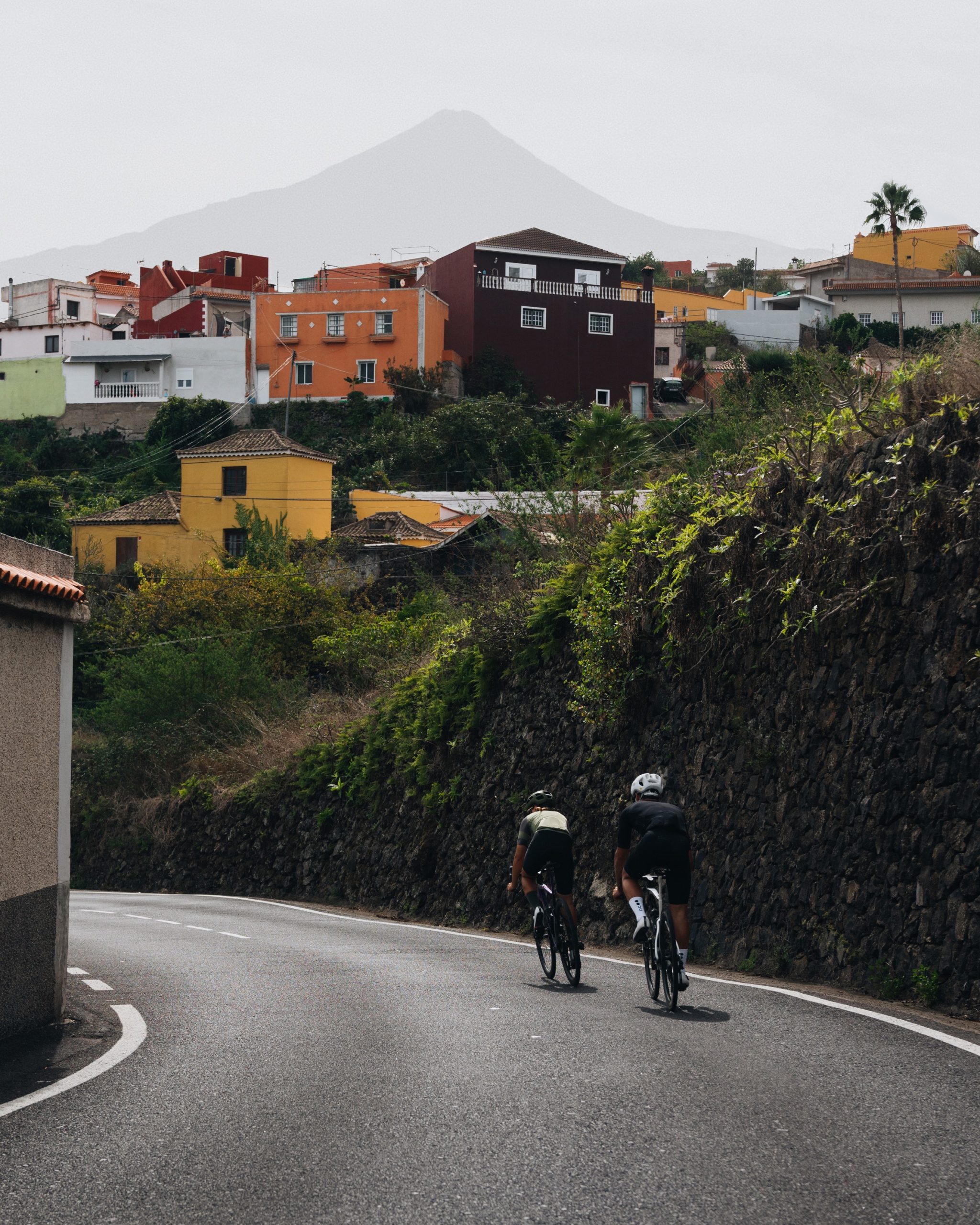
4. TENERIFE
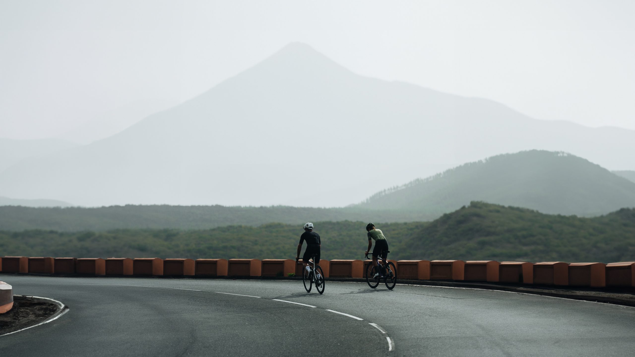
Unlike the other islands, in Tenerife, we started heading north with some very gentle kms, which our legs greatly appreciated. The fatigue from the previous days was becoming noticeable, and we hadn’t even reached the halfway point of the challenge. From the town of Guía de Isora, the terrain changes, and the slopes begin, leading us to the Special Natural Reserve of Chinyero. From there, we embarked on a technical descent, bringing us nearly to sea level, reaching Icod de Los Vinos.
From this point, we rode through areas with soft climbs and easy descents, always with views of the sea. We passed by Ruiz cliff, continuing to add kms. In some sections, we even had glimpses of Mount Teide. We stopped to eat near Puerto de la Cruz to refill our energy tanks before continuing the journey.
We expected the route to be relatively comfortable until we reached the Rural Park of Anaga. However, we encountered some crazy steep slopes when crossing the Cabrera cliff. Fortunately, our efforts were rewarded with spectacular coastal views. Next, we set our course for San Cristóbal de La Laguna, our final stop to refill our water bottles before reaching our destination.
From there, we left behind civilization and ventured into the Rural Park of Anaga. In the first few meters within the park, we were greeted by lush green areas covered in a laurel forest. The trees formed a tunnel above the road, creating a magical environment.
Despite the challenges, we reached the highest point, leaving us with only 15 km of descent to San Andrés, and then another 8 km of flat terrain to the end of the route. This descent was one of the most spectacular of the entire challenge. Not only was the road exhilarating, fast, full of curves, and featuring new asphalt, but it also offered marvelous views of the sharp-edged mountains and deep canyons of the park.
Finally, we arrived in Santa Cruz de Tenerife, knowing that we had crossed the midpoint of the challenge. Our next stop would be Agaete, in Gran Canaria.
5. GRAN CANARIA
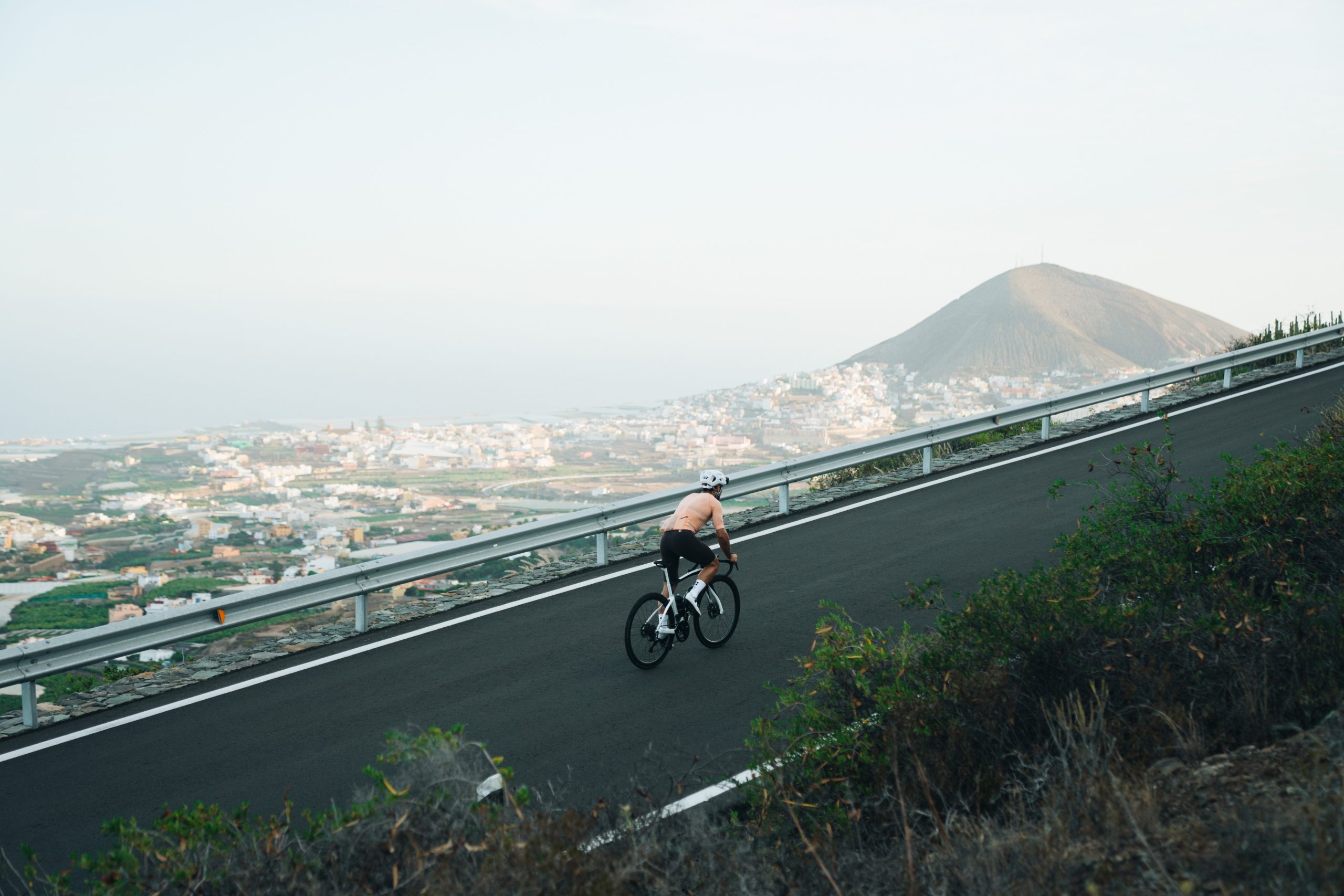
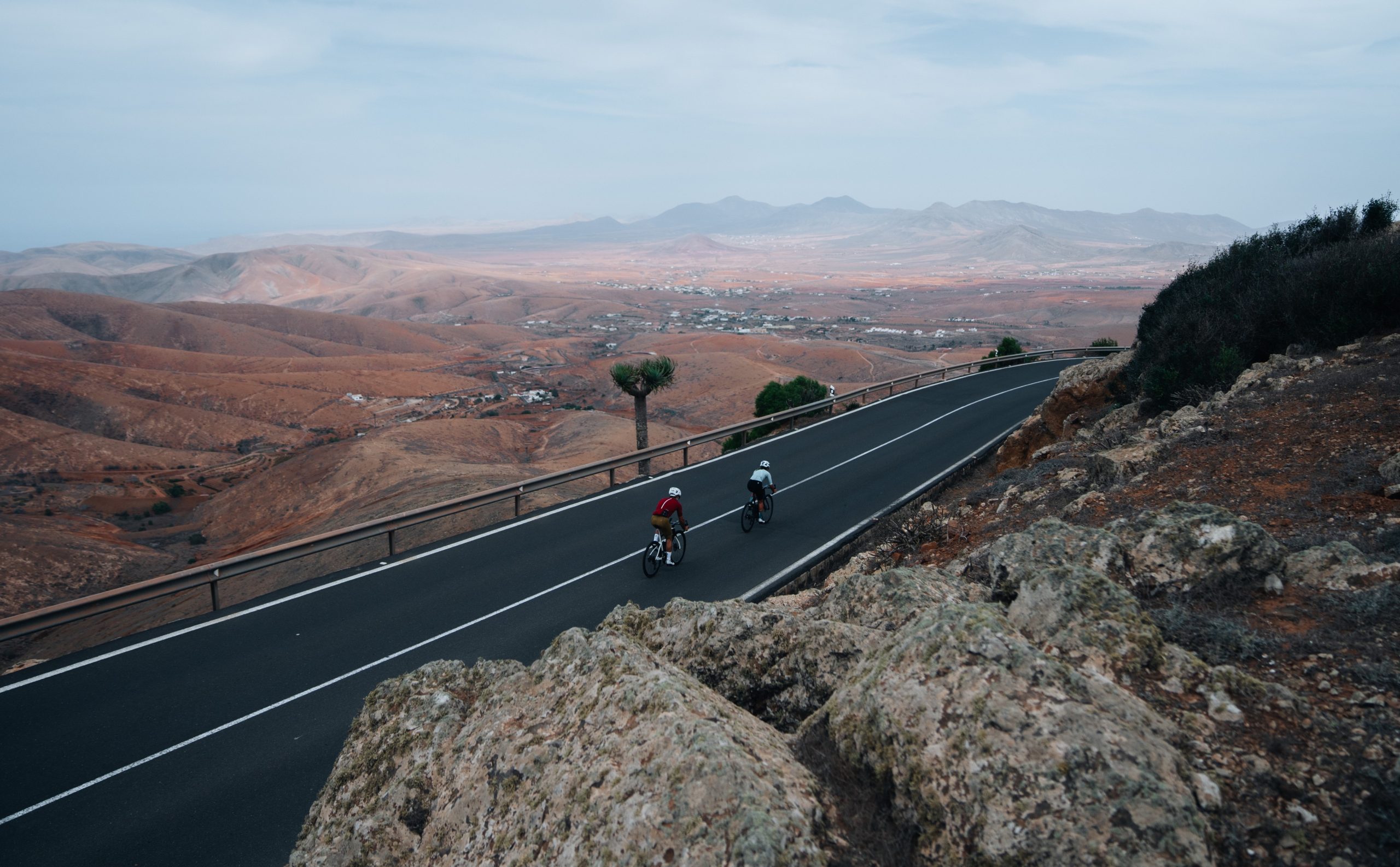
Both Lina and I were familiar with Gran Canaria, which helped us mentally prepare for the 24 km climb from the start. The first ascent was the toughest part of the day; warming up the legs with a 24 km uphill stretch was no easy feat. Nevertheless, we proceeded at a steady pace, passing through small towns like Tegueste and Fagajesto.
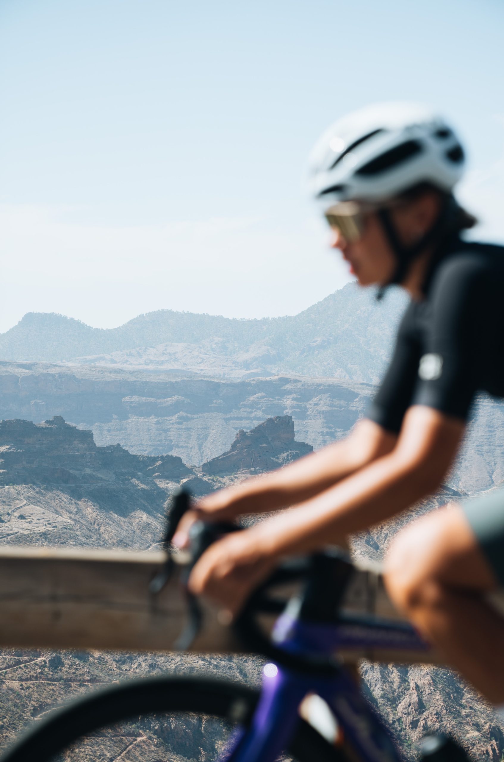
Upon reaching kilometer 24, we took a brief 4 km break before ascending another 400 meters to reach 1,526 meters, where we faced an 18 km descent. We passed through Artenara, a small village perched in a ravine, where we enjoyed some of the best views on the island. From there, we could see the ravines, natural formations, roads at the end of the valley, and even a glimpse of the sea. Moreover, the colors of the landscape were entirely different, with many browns and oranges compared to the greens of the first part. It was a very special moment of the day.
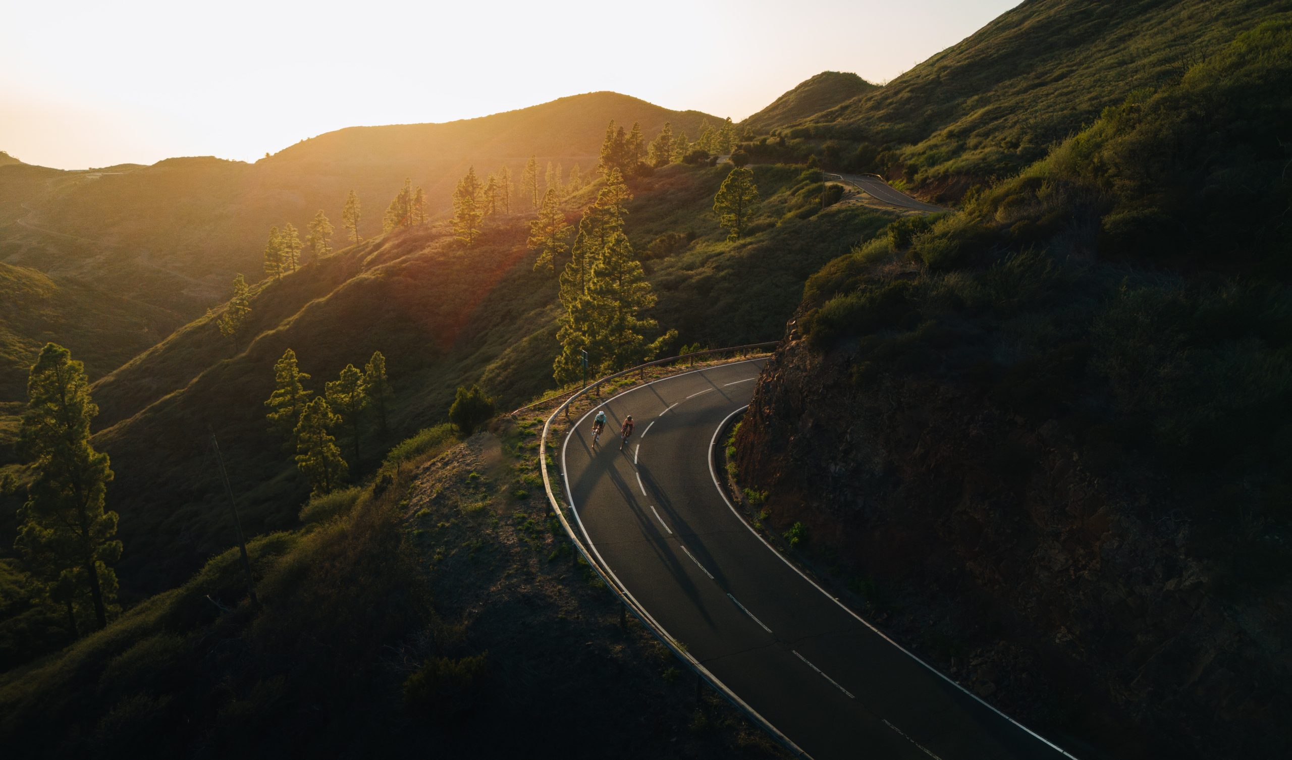
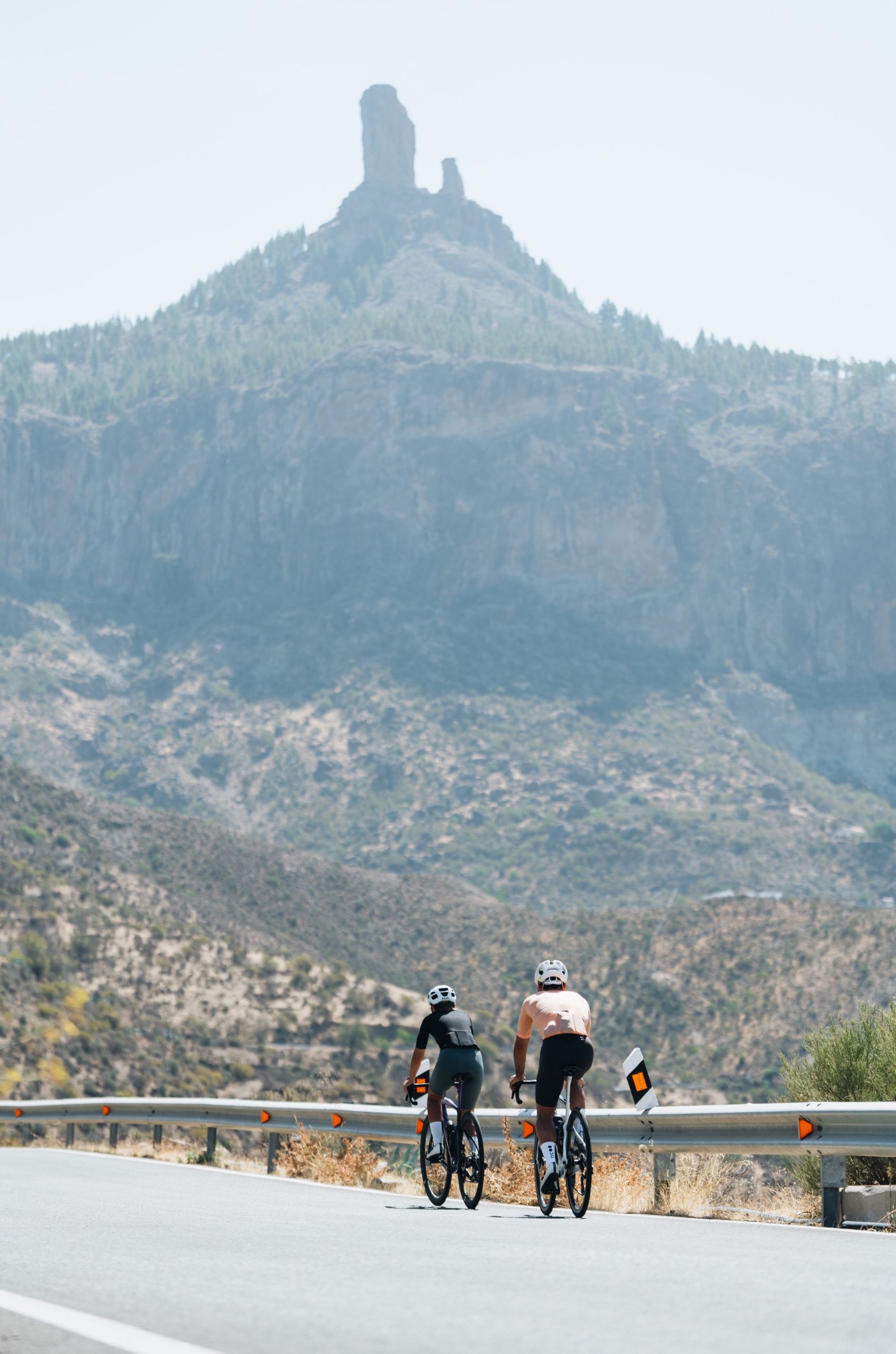
We descended to Tejeda, where we began the penultimate climb of the day. The road rounded the Roque Nublo Natural Monument, which was often visible from a distance. We stopped to rest and eat in Ayacata before facing the final and steepest part of the ascent to Pico de las Nieves, where slopes in some places reached up to 23%. Throughout the ascent, we observed a changing landscape and flora, reminding us of the many meters we were gaining in altitude. Upon reaching the summit, we appreciated how high we were and could see the endpoint far down, Las Palmas de Gran Canaria.
We began the descent and passed through the Los Marteles Special Natural Reserve, where the Caldera de los Marteles served as a reminder of the volcanic origin of the islands. It was a long, super fast descent with very steep slopes that made us reach high speeds on our bikes.
Upon reaching Ingenio, we headed to Telde on a road with gentle ups and downs. There, we faced the final ascent before reaching the island’s capital and our destination, the port of Las Palmas de Gran Canaria.


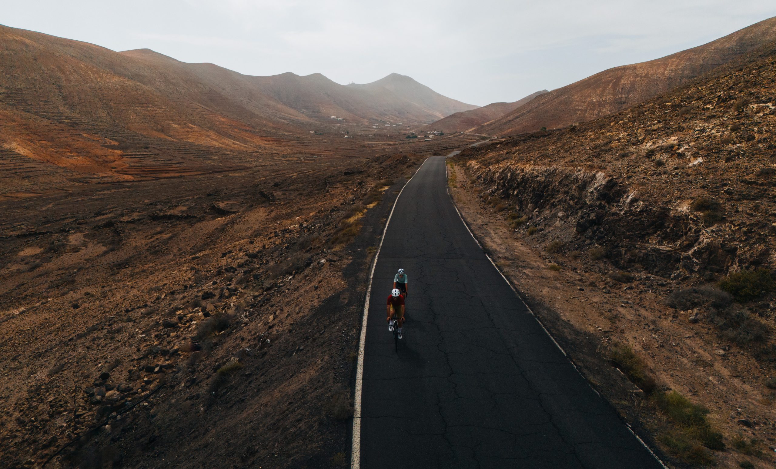
6. FUERTEVENTURA
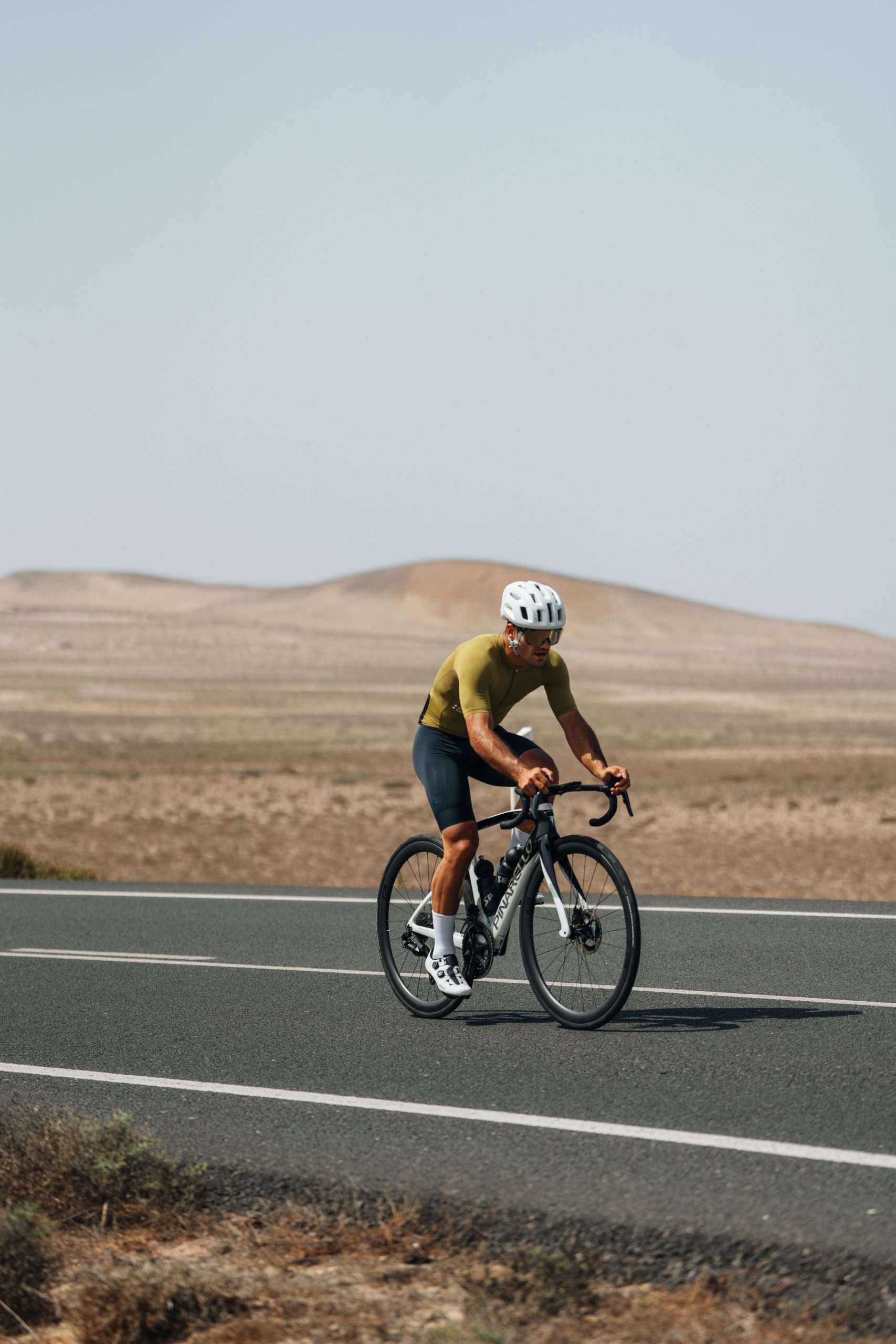
We arrived in Fuerteventura at night, and upon waking up, we already realised that this island was completely different from the ones we had visited before. We started pedalling in Morro Jable, heading north.
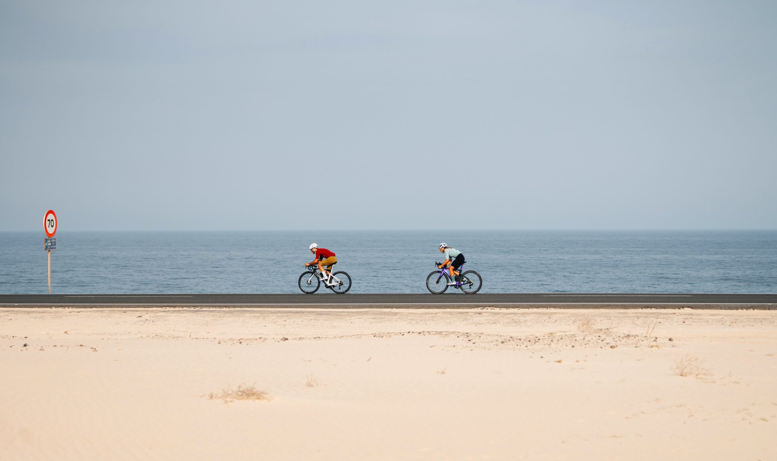
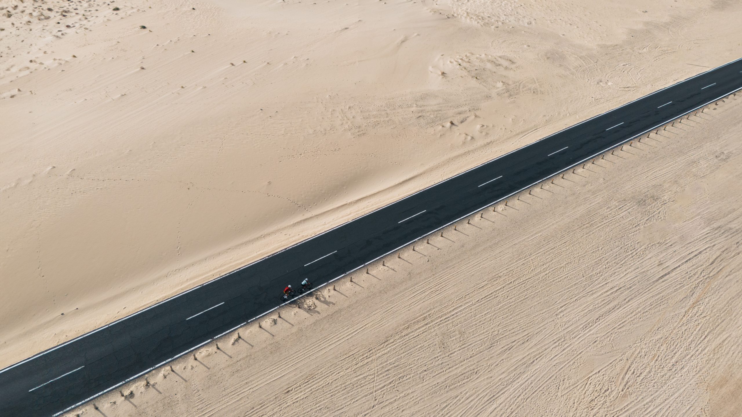
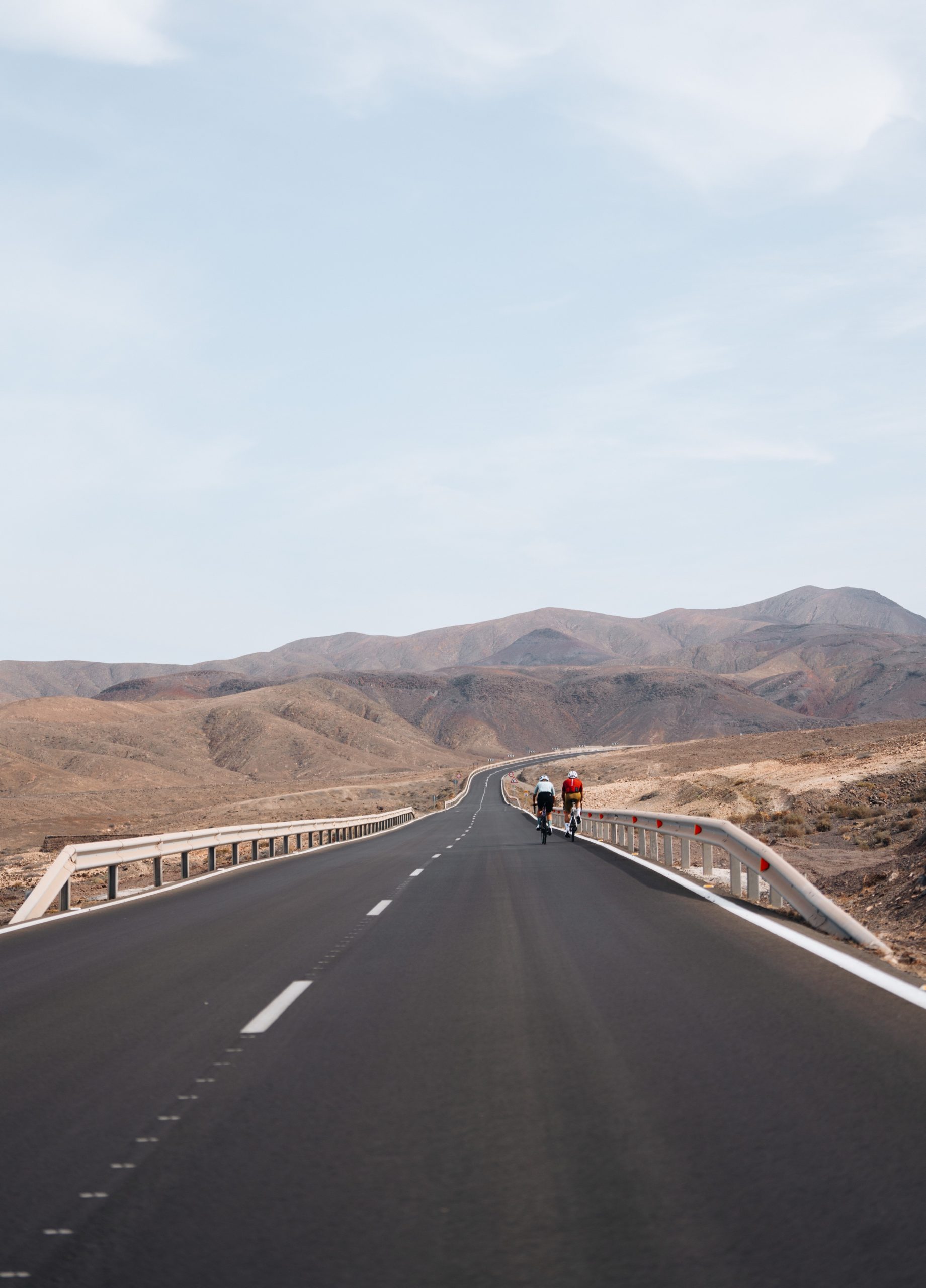
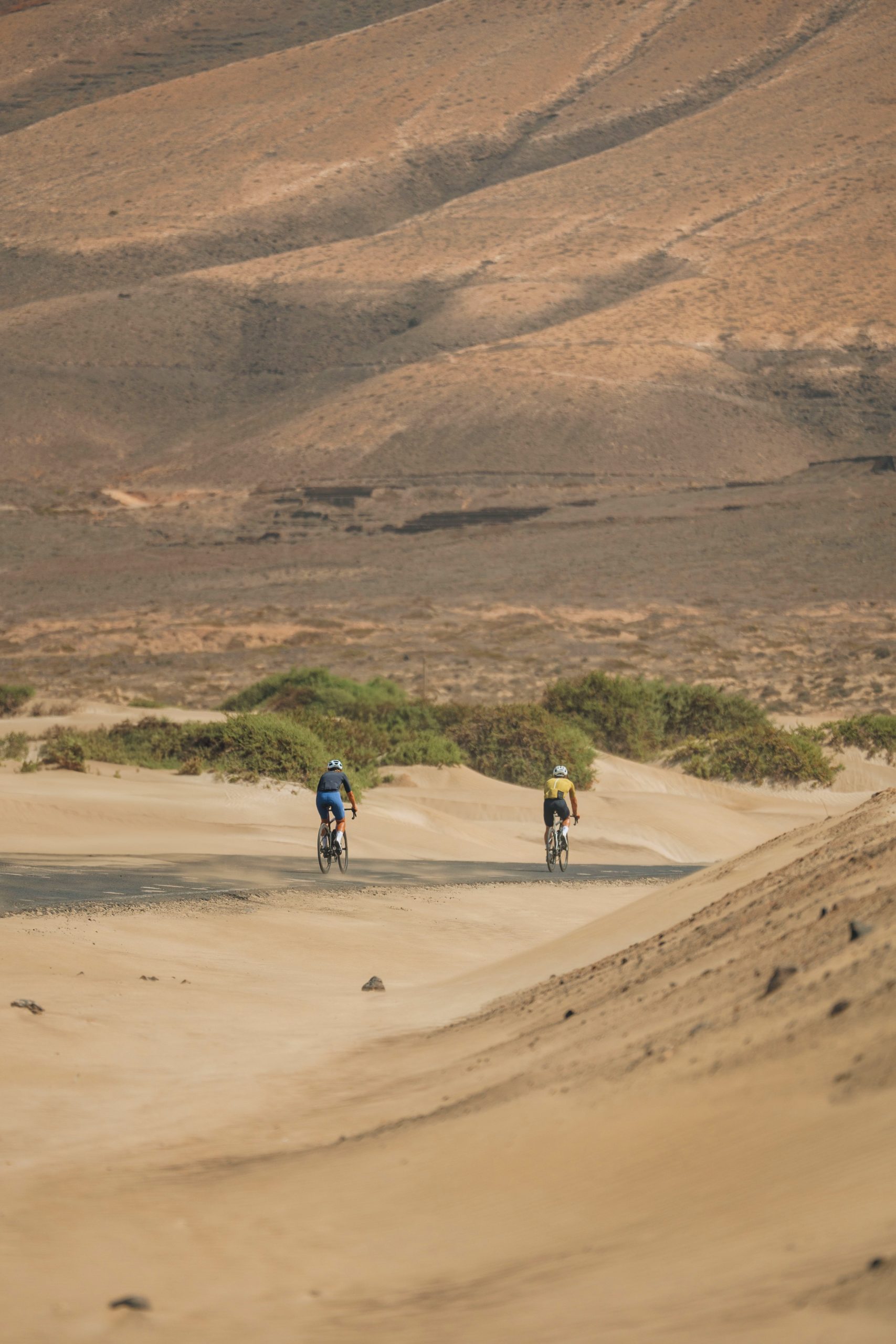
The first 30 km were gentle, with the first part involving slight ups and downs along a road by the coast before reaching a stretch of bike lane separated from the road, clean, and surrounded by dunes and a desert landscape.
The predominant colors on this island were browns, oranges, and yellows, along with a landscape reminiscent of a Star Wars movie. We reached Pájara around noon and took a break to refuel.
Despite having less elevation change compared to previous days, we still had to climb about 1400 meters of ascent by the end of the day, with most of it concentrated in the middle of the route.
We ascended Pico de la Muda (529 meters) and Morro de la Cruz (678 meters), passing through the Betancuria Rural Park, a protected area filled with rocky outcrops, mountainous masses, and native and migratory birds.
After a long descent, we headed east to reach the coast and enter the Natural Park of the Dunes of Corralejo. This park is divided into two entirely different zones. Going from south to north, we first encountered a volcanic area with sparse vegetation and very dark brown colors, followed by a road through the giant white sand dunes extending to the Atlantic Ocean. It was a beautiful way to end our journey through Fuerteventura.
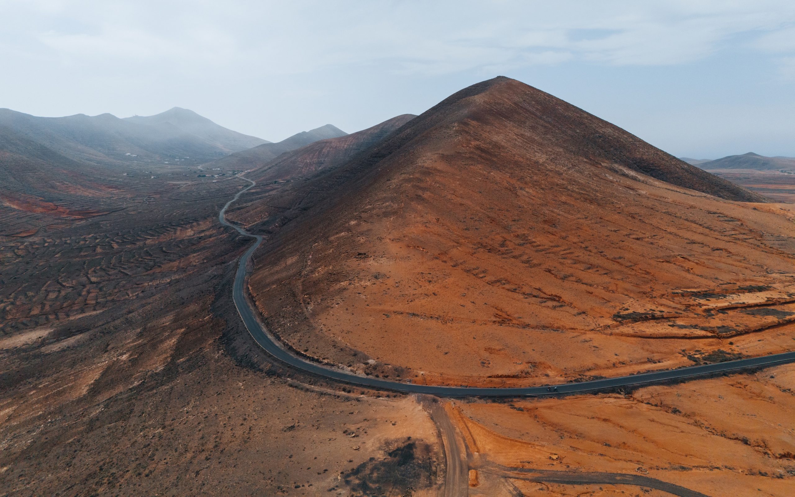
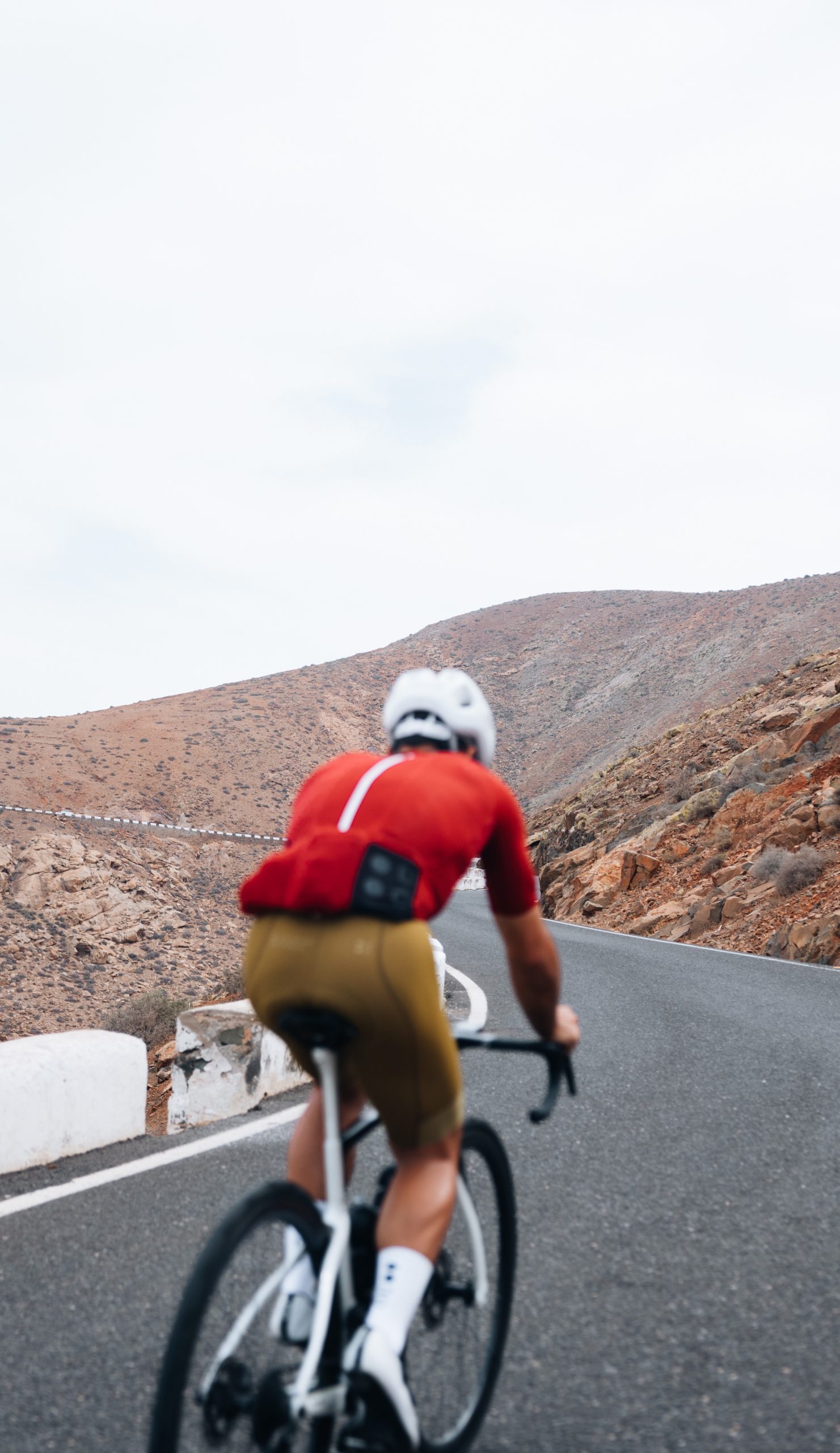
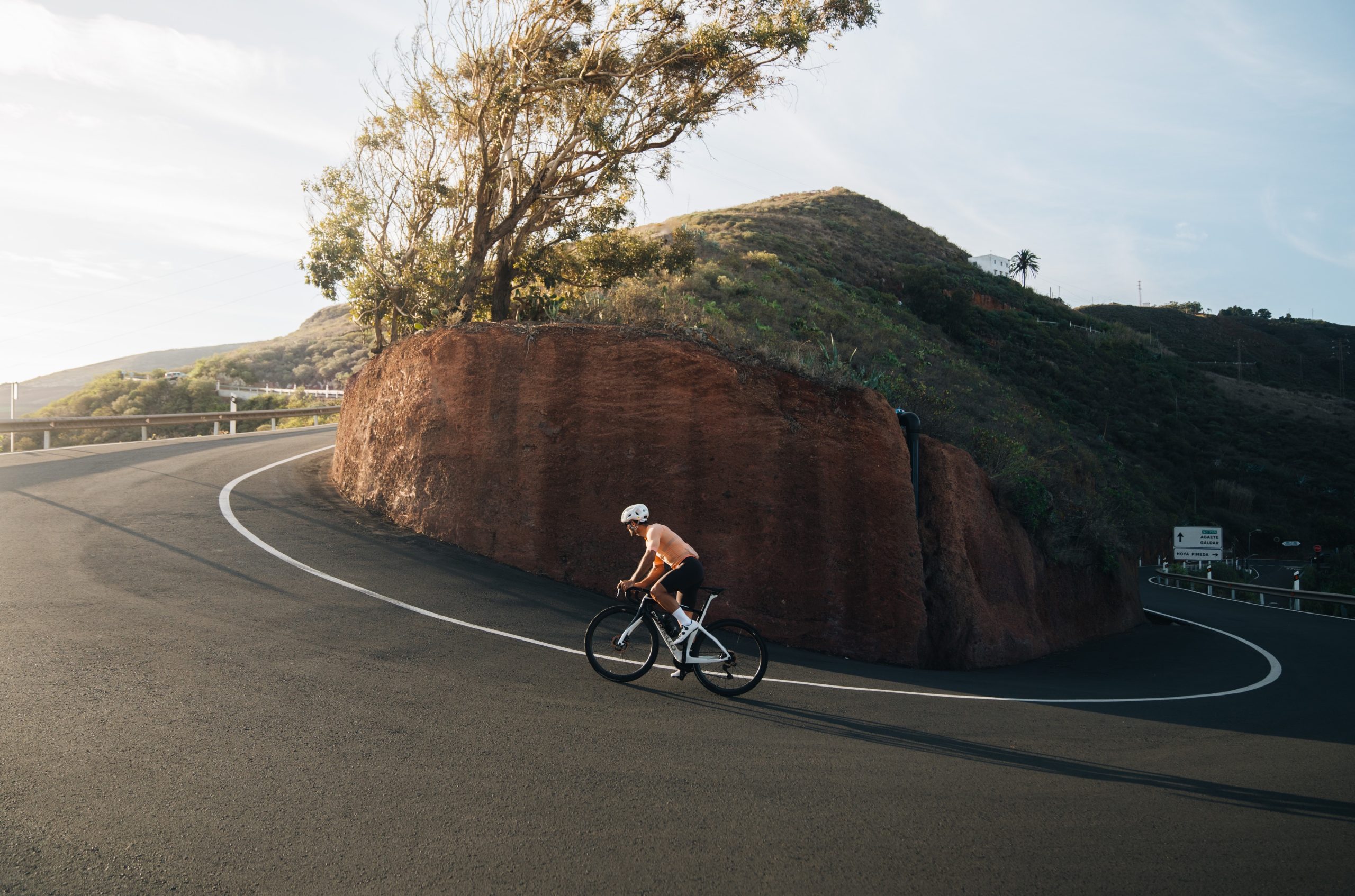
7. LANZAROTE
We had arrived at the penultimate island, and despite the accumulated fatigue from all the kilometres we had covered, Fuerteventura, with its minimal elevation change, helped us recover some energy for this final day.
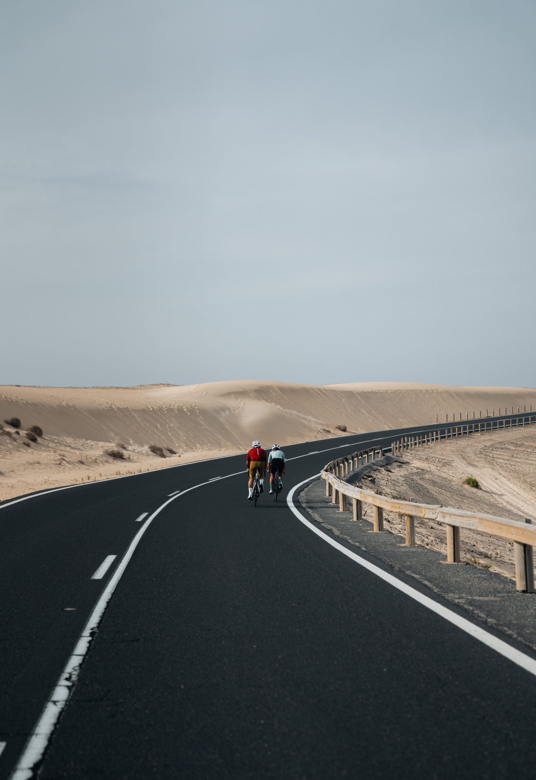
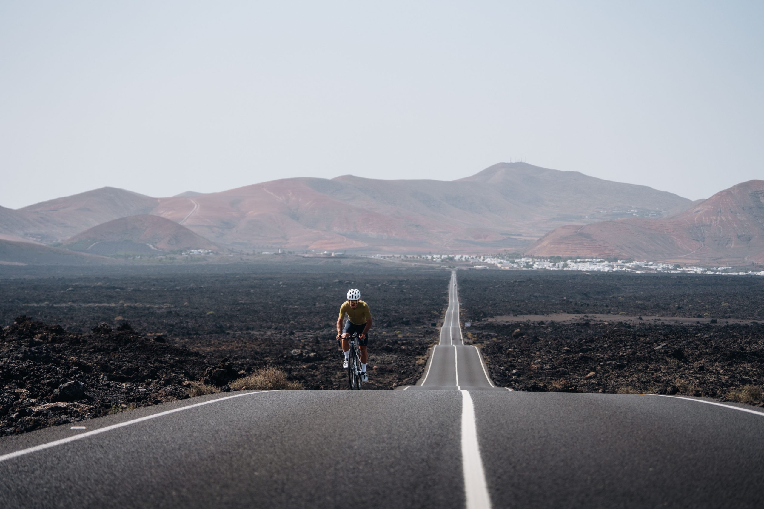
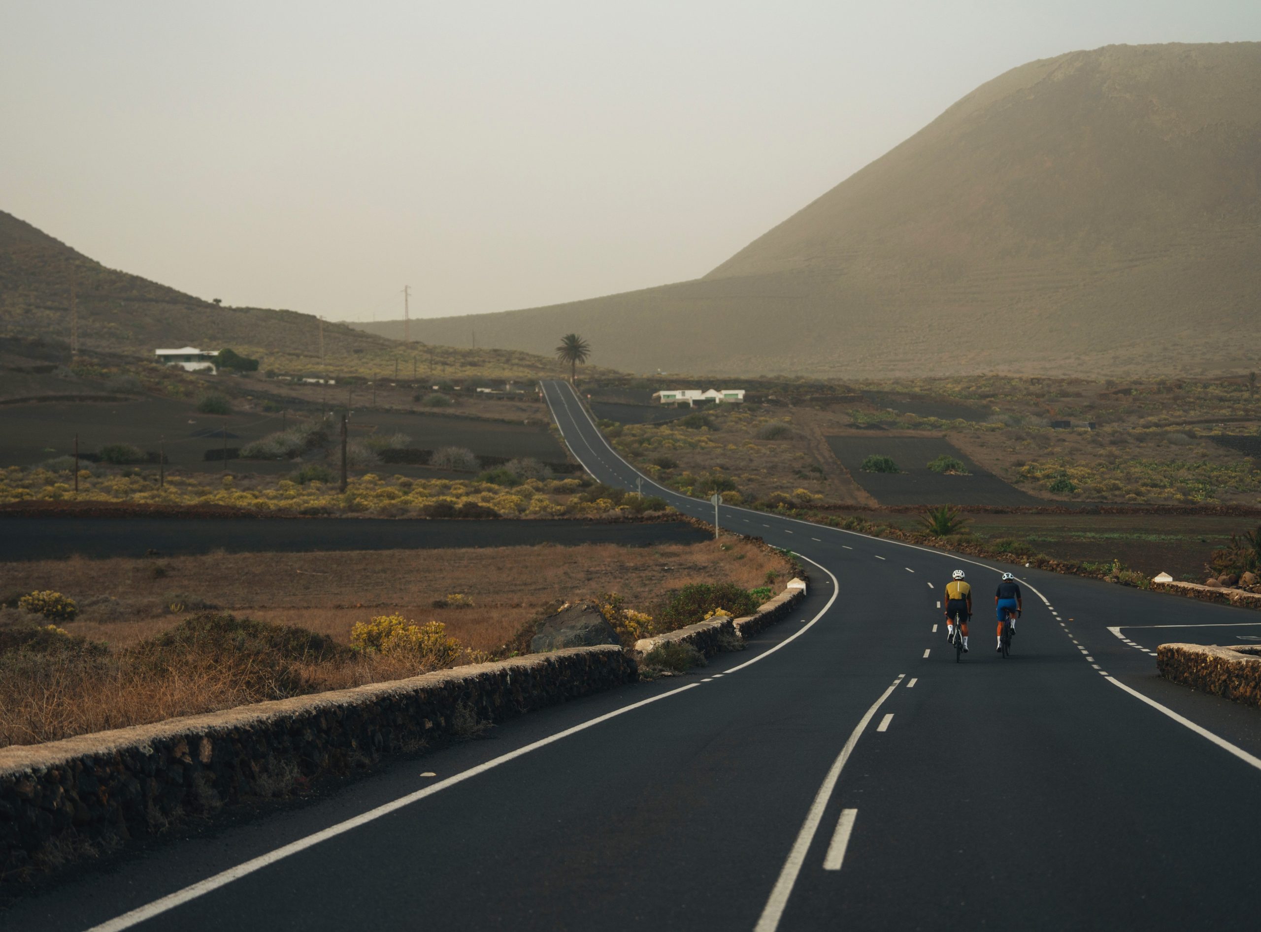
We started in Playa Blanca, in the south of Lanzarote. Although the landscape looked like Fuerteventura, the colors were much darker, with black areas and lava fields. The first 16 kilometres to Yaiza were flat, and we could appreciate the island’s landscapes with contrasting bright blue sea against the dark brown and black land.
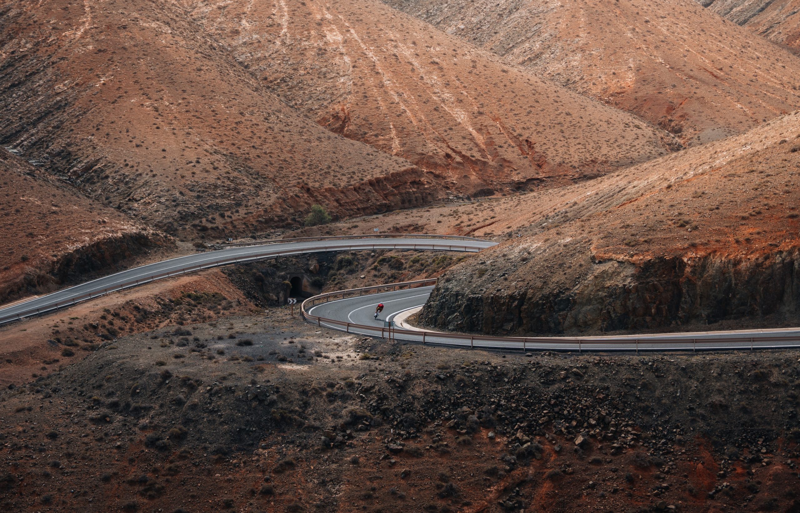
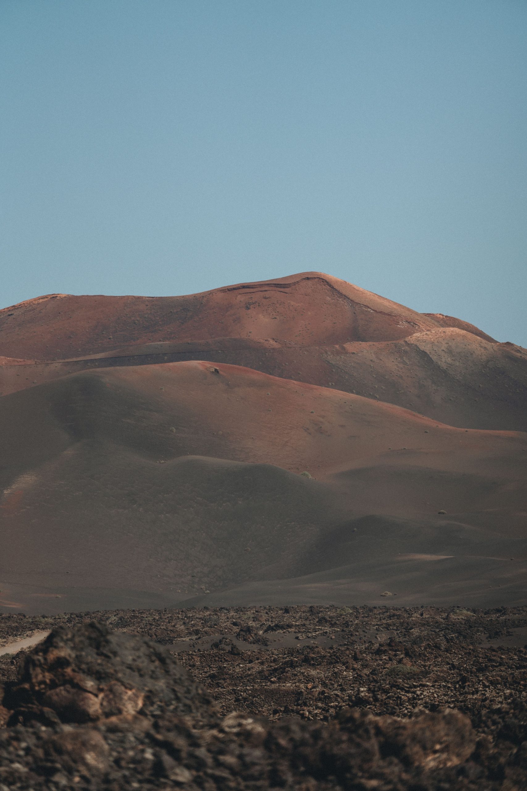
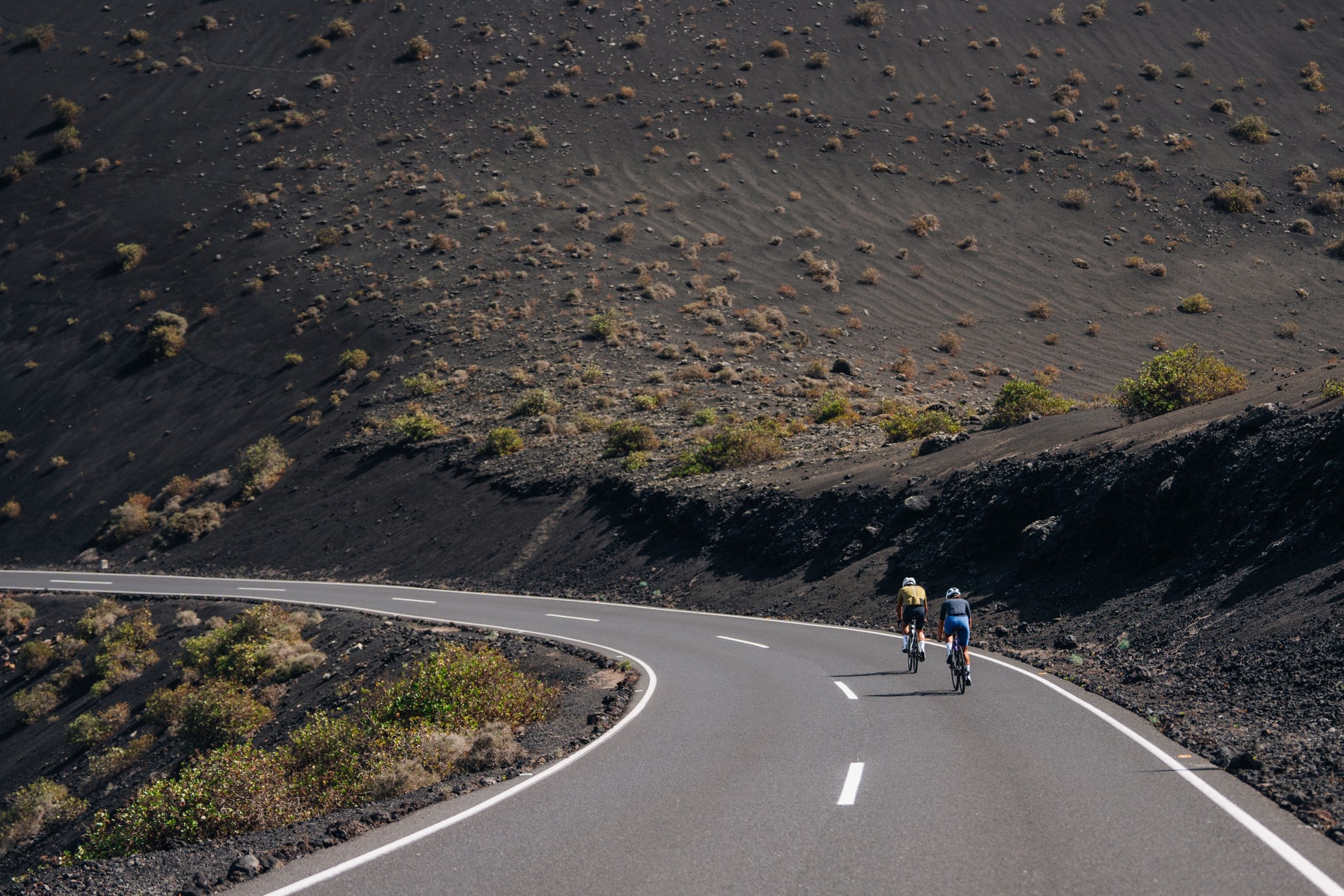
From there, we entered the Timanfaya National Park, an area filled with volcanoes, with no vegetation, and featuring rugged forms and predominantly dark black and brown colors, with some touches of red and ochre, making the park look like another planet. It was one of the most impressive landscapes of the entire challenge.
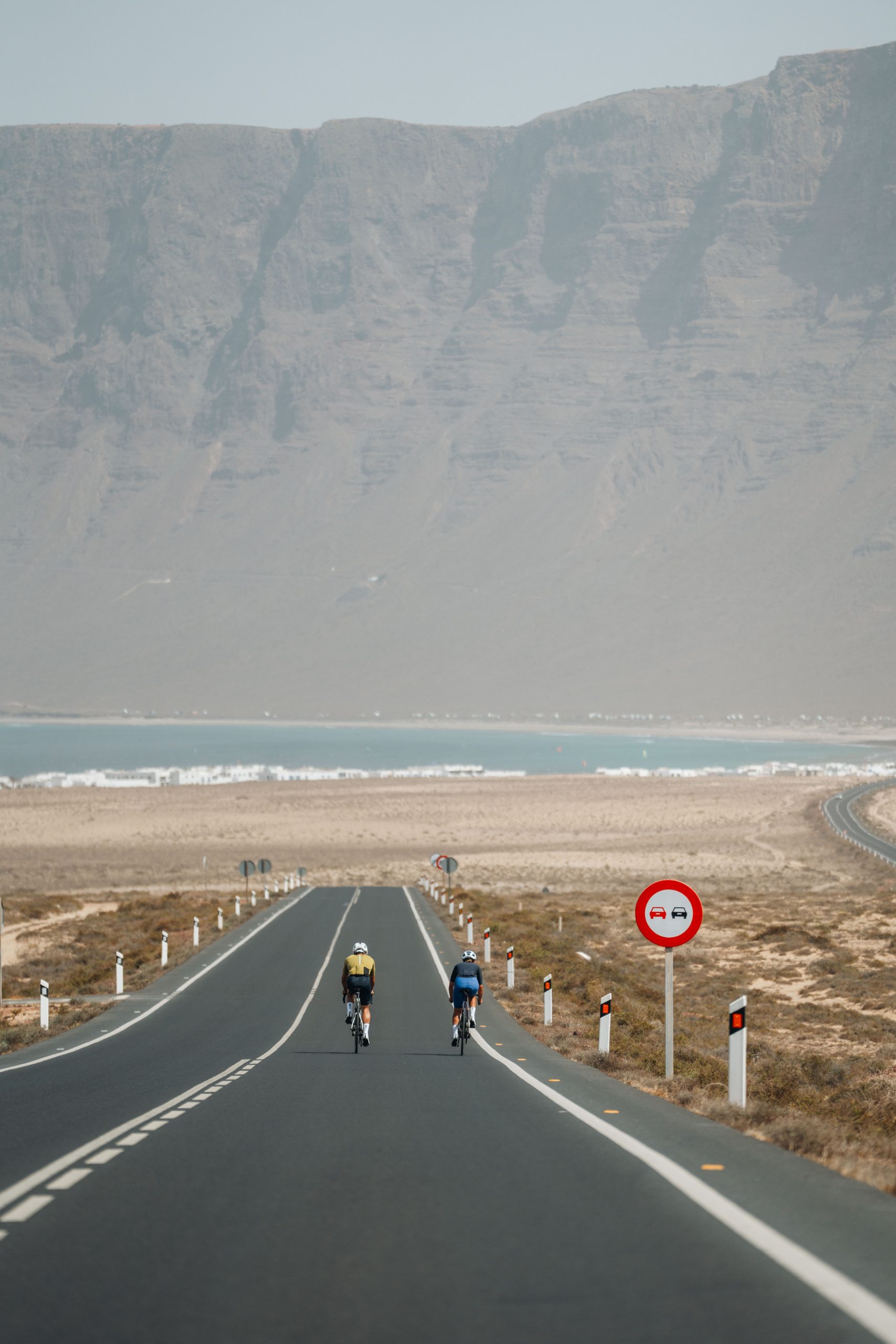
We continued the route towards the north, approaching the coast, and arrived at Caleta de Famara, where we could see the impressive Famara Cliffs, part of the Chinijo Natural Park. The intense contrast was once again a feature of the landscape.
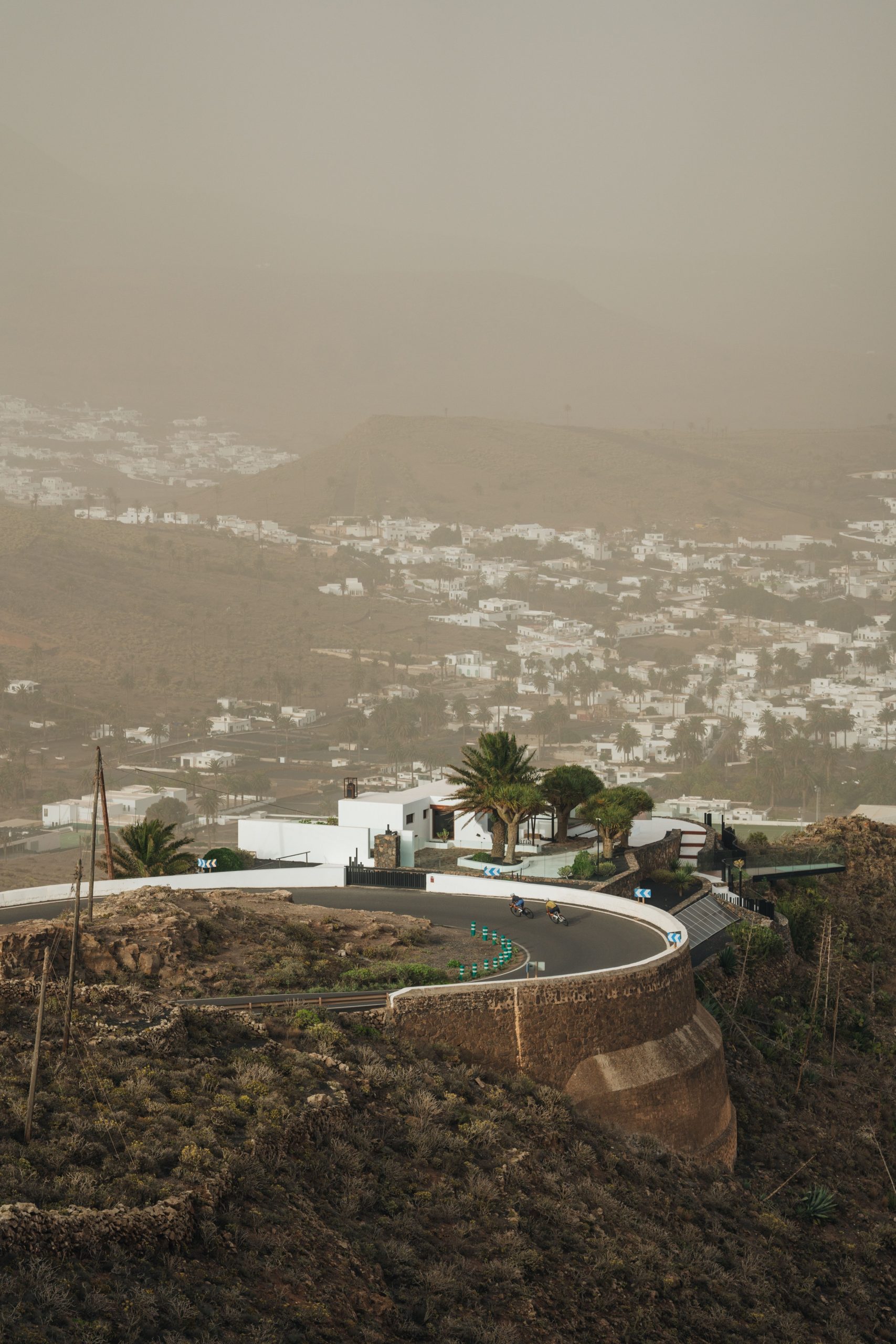
We embarked on a 25-kilometre climb, which, while gentle, was lengthy, taking us to the highest point of the route, 569 meters above sea level. Midway through the ascent, we stopped in Teguise for lunch and a few minutes of rest. Upon reaching the summit, we could see the village of Haría, nestled amidst volcanic formations that offered glimpses of the ocean.
The final climb of the entire challenge took us to the Mirador del Río, passing by the side of the Corona Volcano. From there, we descended to the ultimate endpoint of the journey, Órzola. The 10 kilometres of descent traversed a volcanic area, and we enjoyed the ride with excitement, remembering all the effort we had put in to reach the end of the challenge.
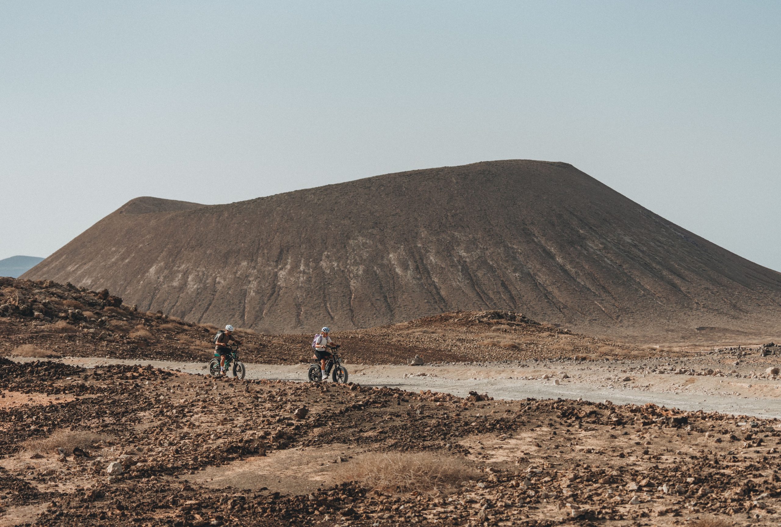
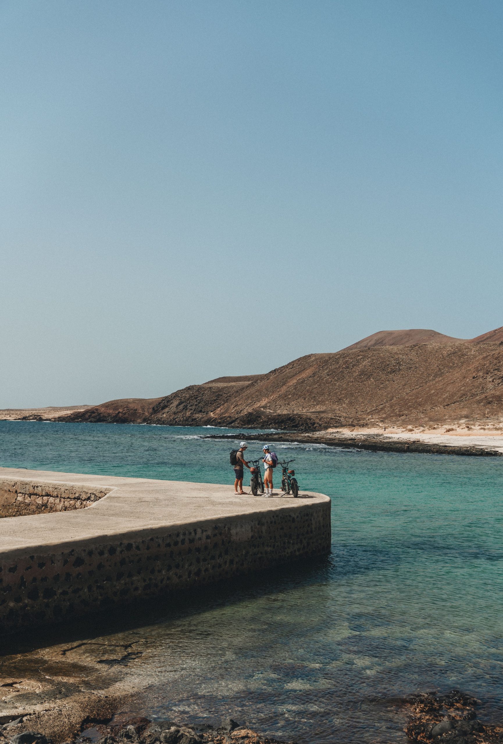
8. LA GRACIOSA
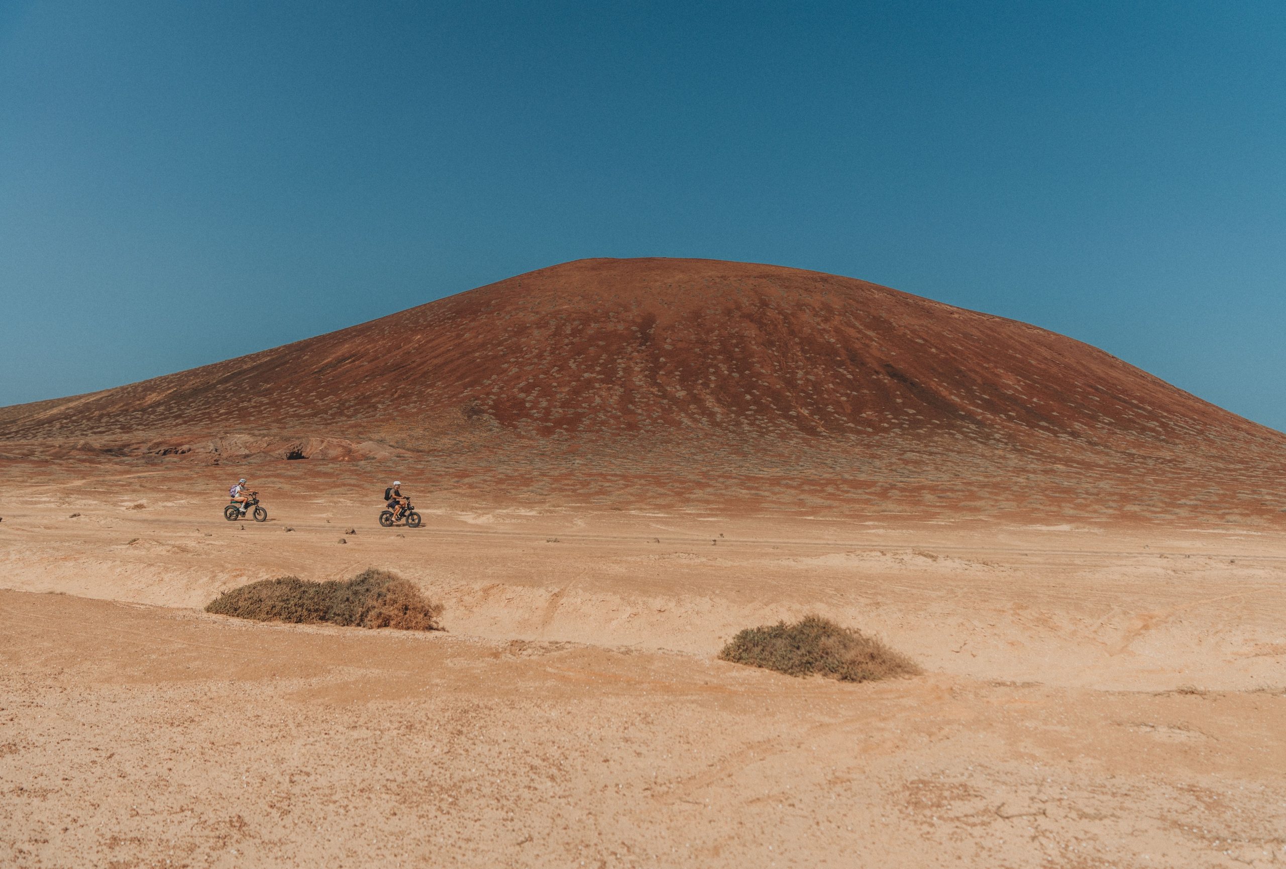
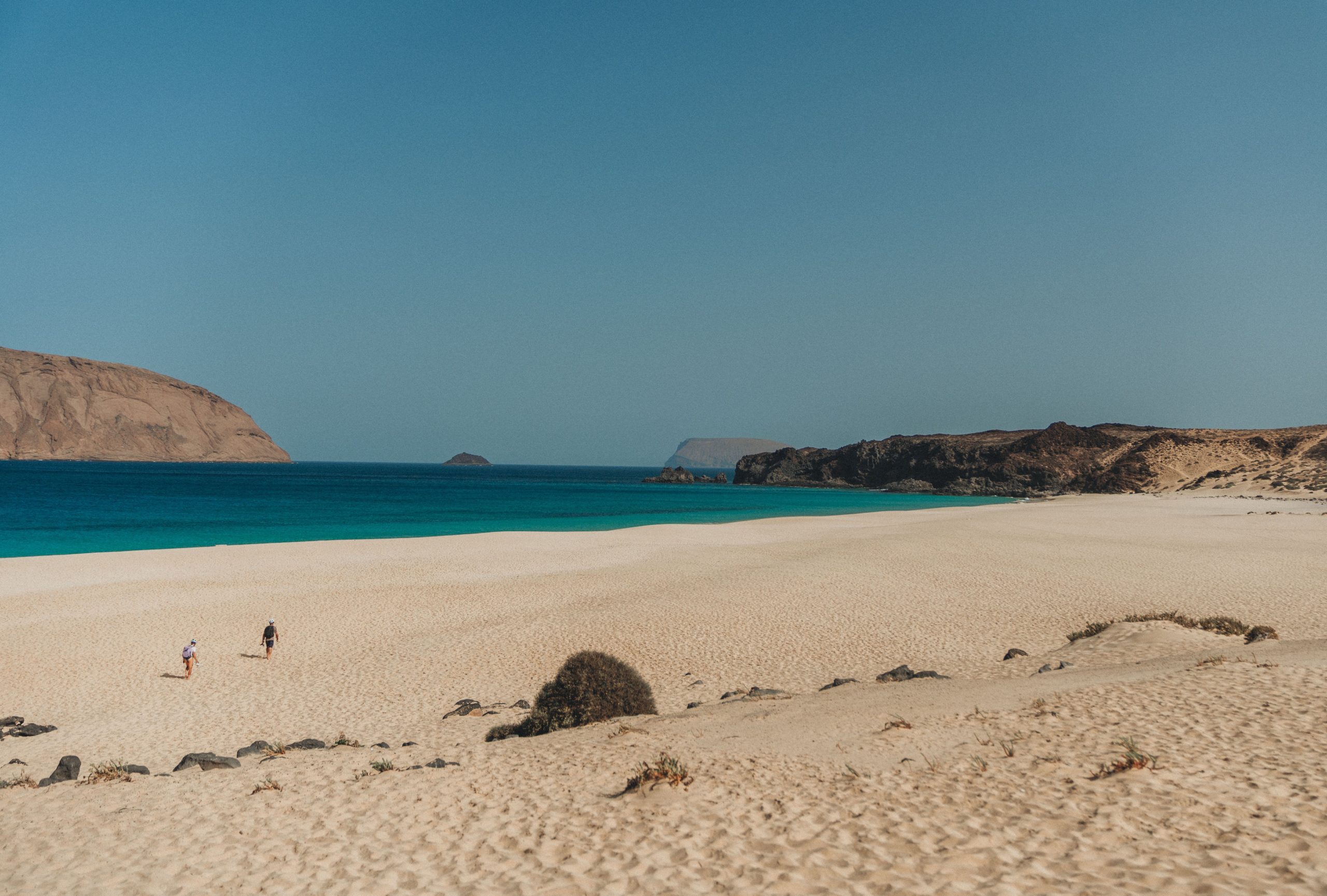
Although La Graciosa lacked asphalt roads, we didn’t want to exclude this island from the challenge. We approached it as a day of recovery after covering all the other islands in this small paradise. We rented mountain bikes and spent the day enjoying the paradisiacal white sandy beaches surrounded by volcanoes.
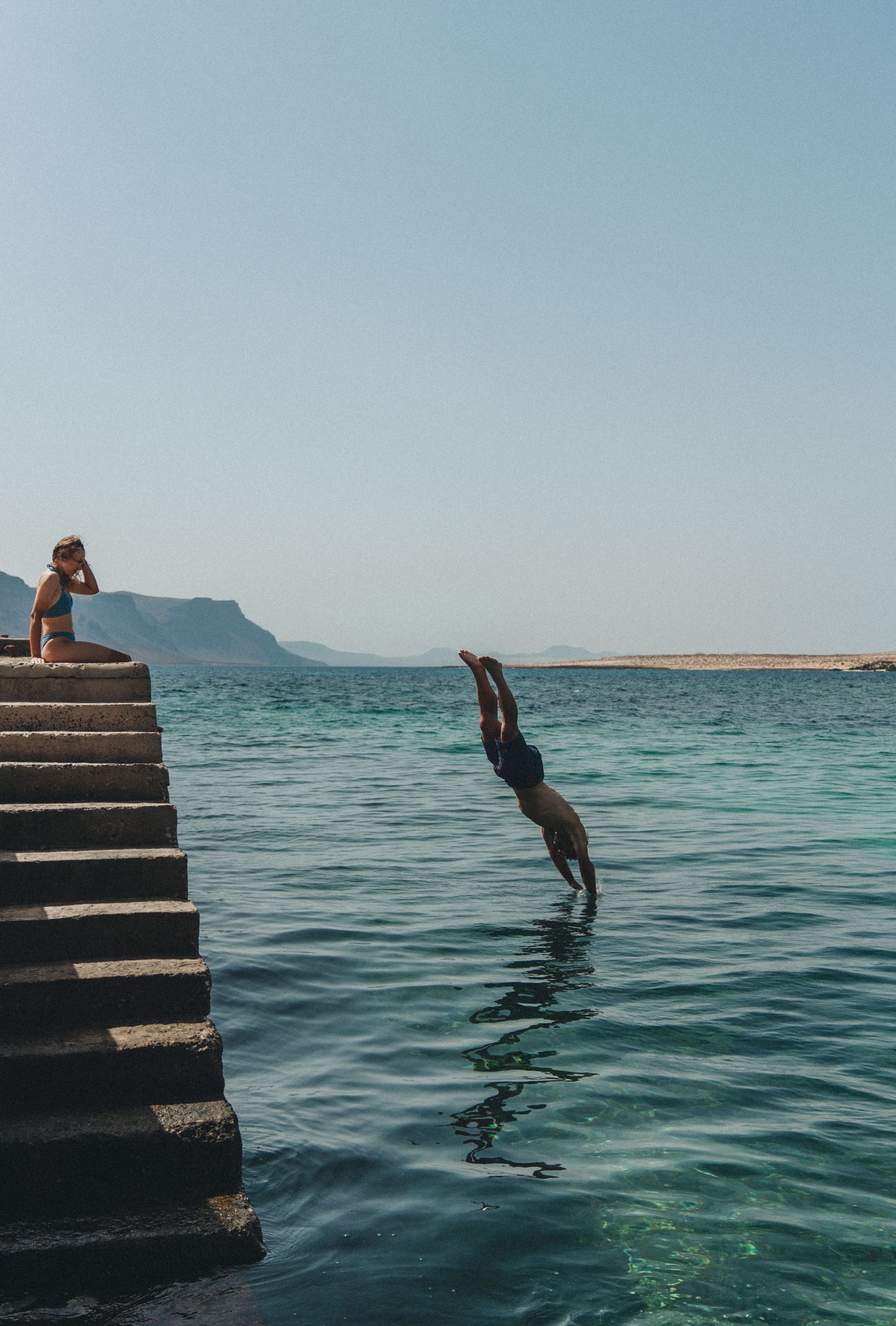
Additionally, we swam in the Atlantic Ocean for the first time during the trip.
It was a very special way to conclude this challenge, allowing us to enjoy this small treasure of La Graciosa in a different manner.

PRODUCTION & MEDIA:
ApperStudio
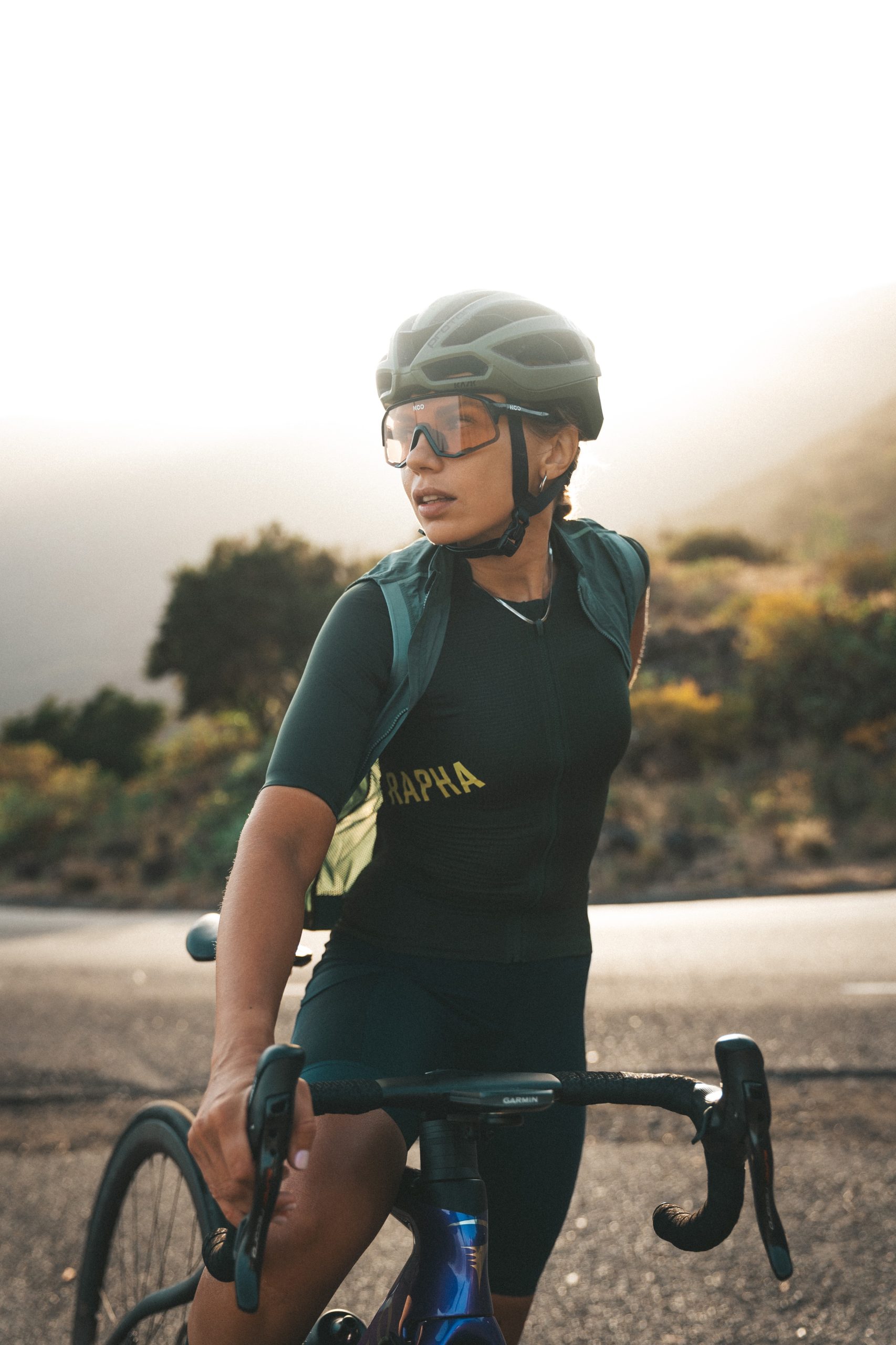
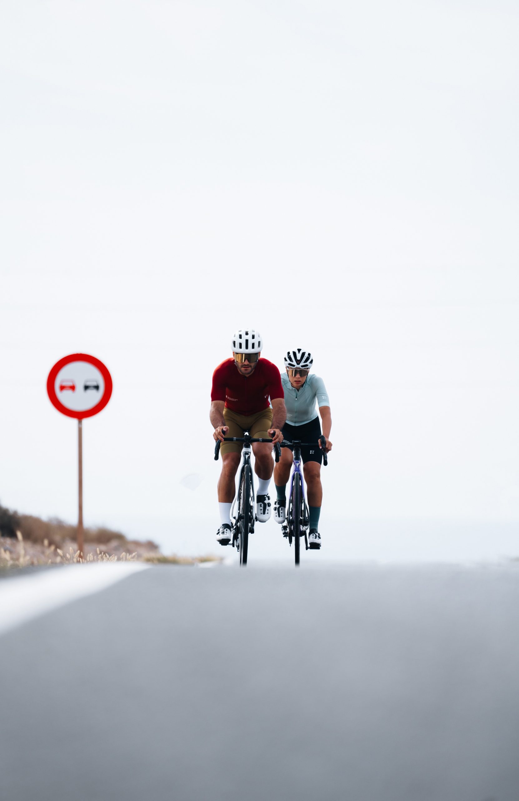
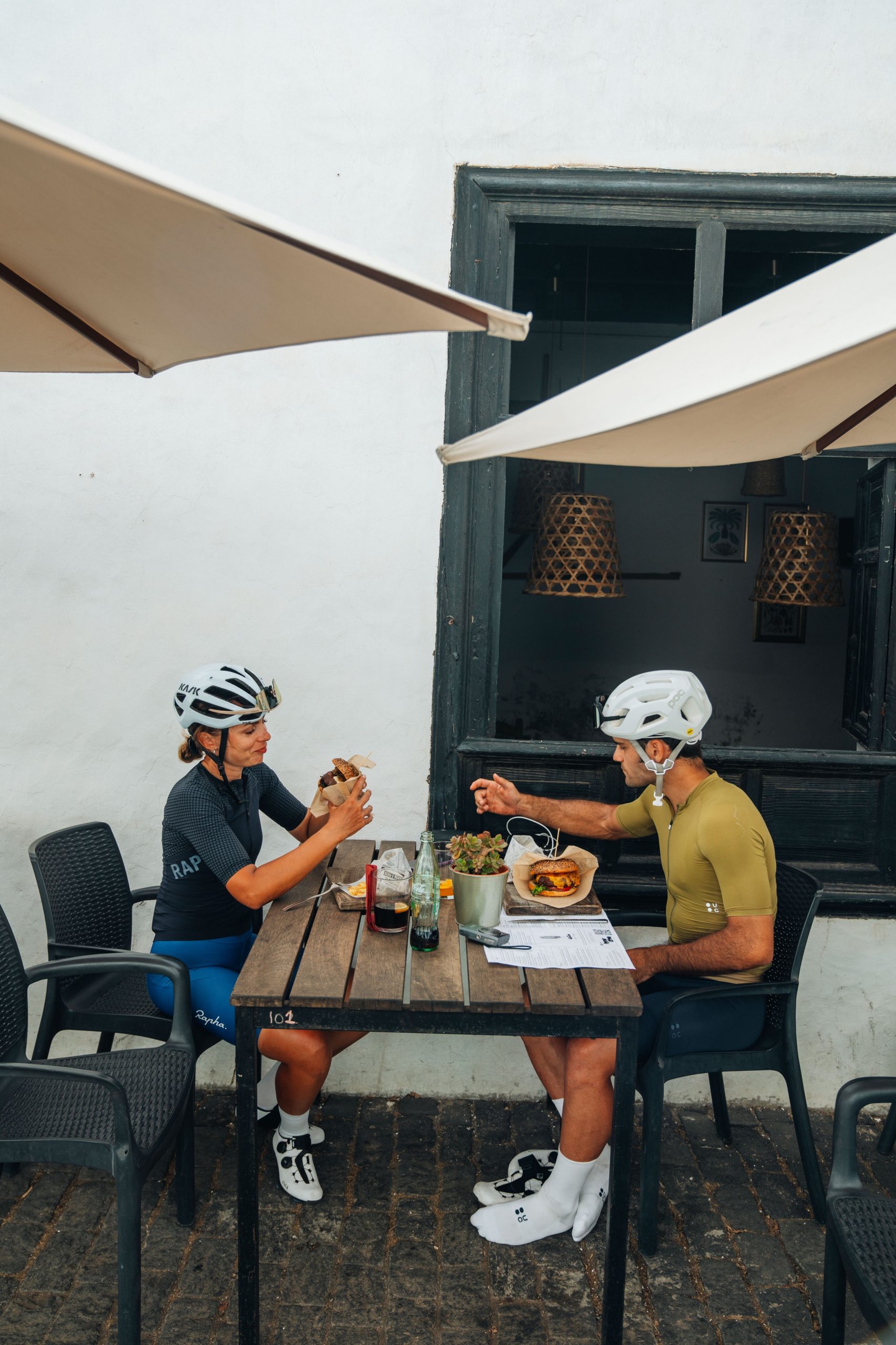
RIDERS:
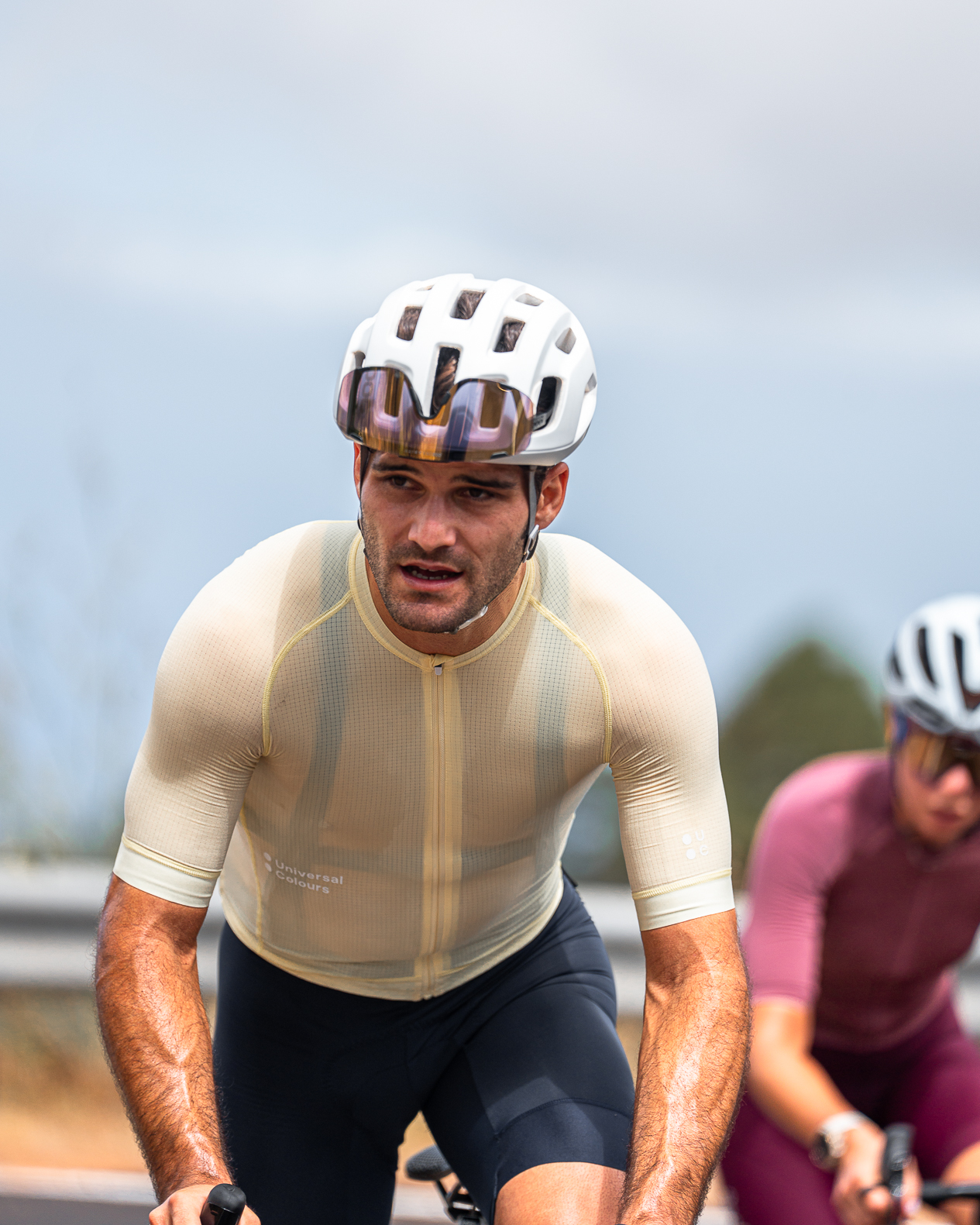
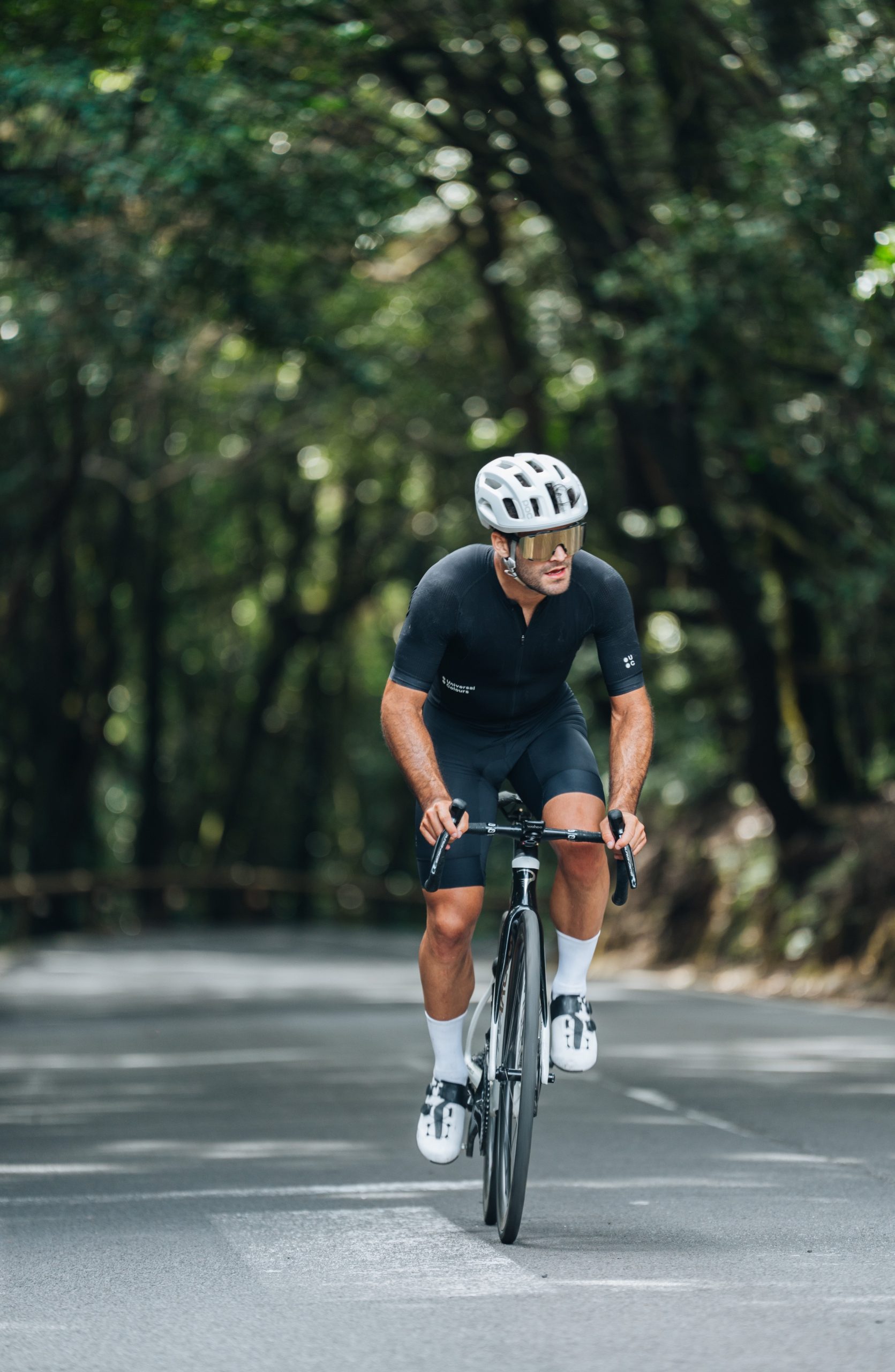
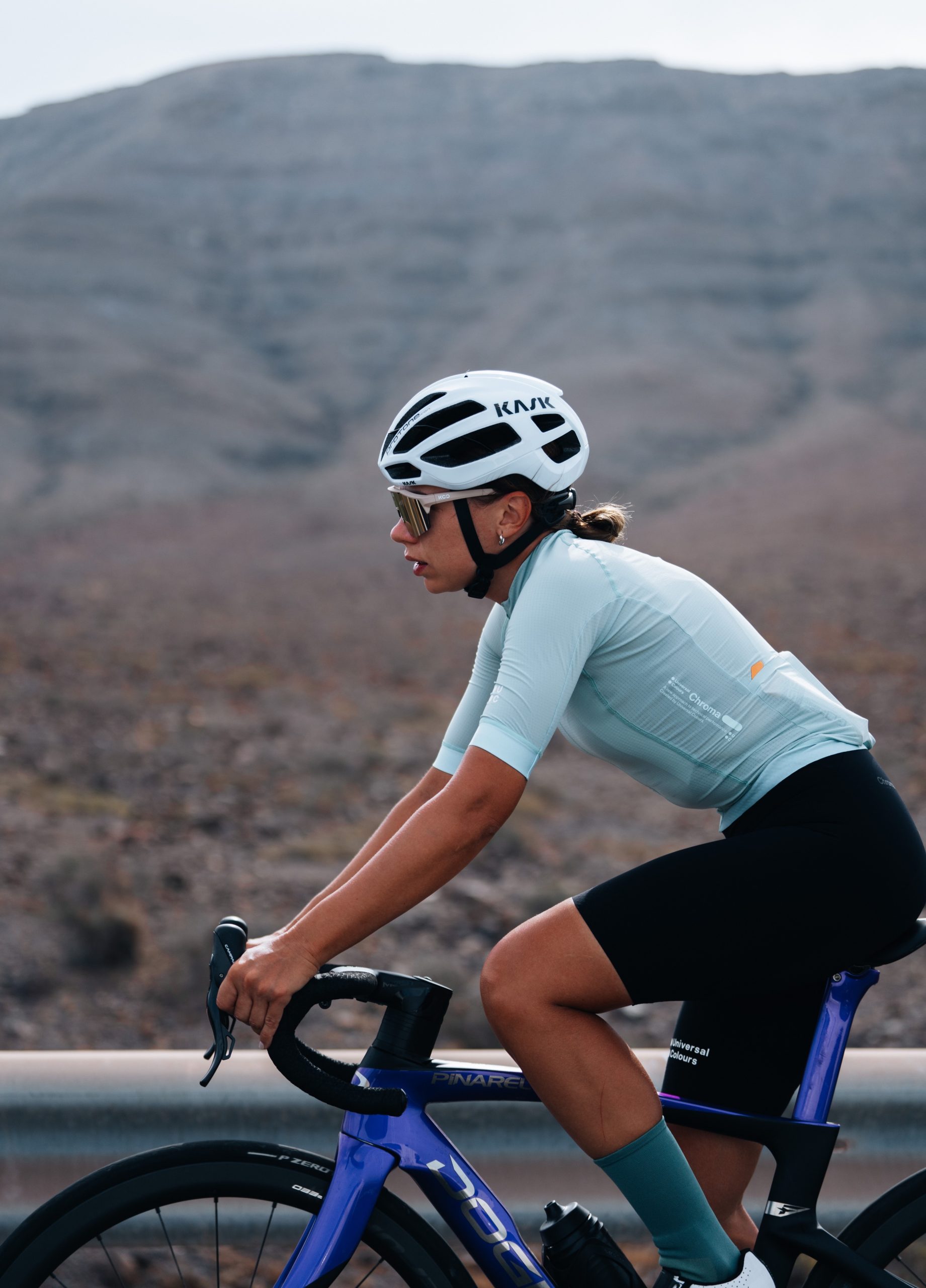
Pol Tarrés
Lina Bo